> From the WeatherWatch archives
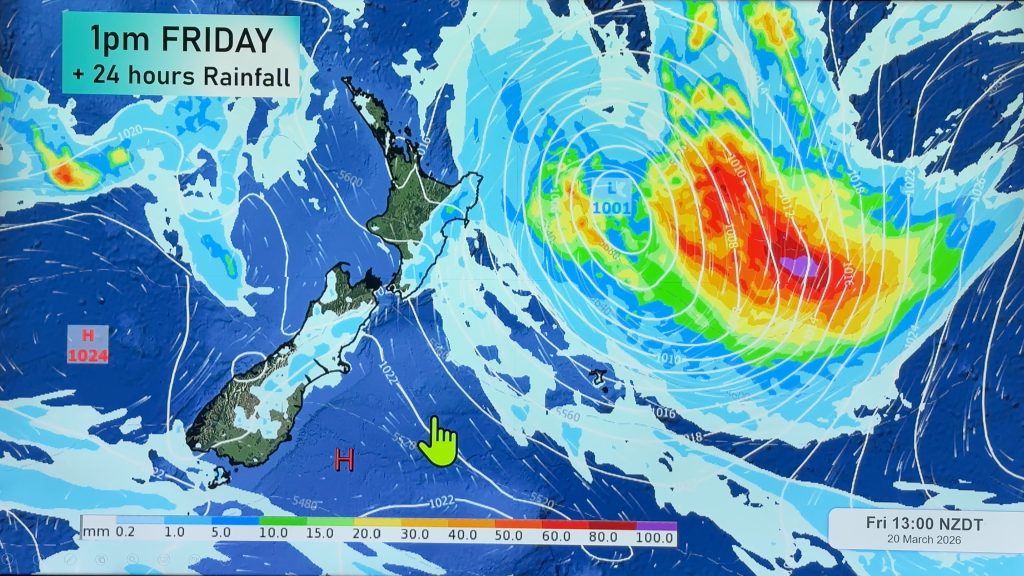
A front roughly along a north-south direction will linger around the eastern-most part of the North Island today. Heavy rain accumulation is possible until Friday morning. Around Bay of Plenty and East Cape/Gisborne this sub-tropical set up may cause locally heavy rainfall of about 20 to 30 mm/h (in eastern Bay of Plenty and over to Gisborne).
The 24hr rain accumulation from Thursday morning to Friday morning is expected to be around 100 mm over the main ranges of Gisborne and East Cape but far less further afield.
On Friday, a low pressure system will develop off the eastern coastline of the North Island and move southward, producing mostly cloudy skies and occasional rain in lower North Island and northwester South Island. At the same time a weakening low in the Tasman Sea will move northeastward and cause scattered showers and isolated thunderstorms around Northland and Auckland.

– WeatherWatch.co.nz
Comments
Before you add a new comment, take note this story was published on 30 Aug 2018.


Add new comment