> From the WeatherWatch archives
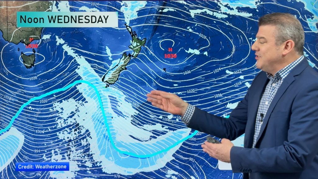
A fast moving low is bringing plenty of rain to New Zealand today. It should be on its way out by tonight. But tomorrow will just be the calm before the next storm comes in on Saturday.
For today, look for very wet conditions for both Islands.The South Island could see the rain ease this afternoon.The North Island will probably have to wait until tonight.
Brief heavy falls are possible about Taranaki, Waikato and Bay of Plenty. Wind will also be an issue. Strong breezes are expected across much of the country.
Temperatures may not move a whole lot today. Highs are expected to be the upper teens to lower 20’s for many although cooler readings are expected about Wellington as well as coastal sections of the east and south of the South Island.
By WeatherWatch Analyst Howard Joseph
Comments
Before you add a new comment, take note this story was published on 29 Feb 2012.


Add new comment
WW Forecast Team on 1/03/2012 1:11am
The low moved through faster than originally expected. It also had the flow around it shifted a bit by neighbouring systems.
As a result, today turned out to be not nearly as wet. We’ve still seen plenty of wind so far though.
Cheers/HJ
Reply
kylie on 29/02/2012 8:47pm
a brief hail shower in invercargill this morning while the sun was shining i don’t remember that in the forcast.
Reply
sw on 29/02/2012 6:15pm
More Southwest at gale force as usual…..no NW here as forecasted.Plenty of steady overnight rain…Am over the pine needles.
Reply