> From the WeatherWatch archives
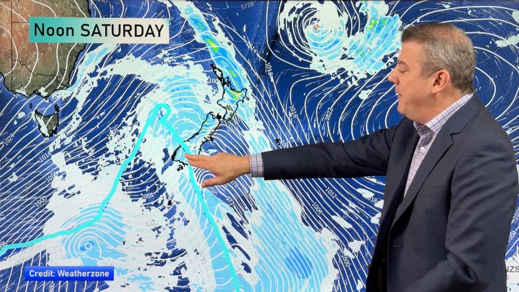
A front moves onto the southwestern corner of the South Island today, northerlies further north.
Northland, Auckland, Waikato & Bay Of Plenty
A mostly sunny morning then a few afternoon clouds, chance of an isolated shower late afternoon / evening about some inland areas then clearing. Mainly dry overall. Light winds then sea breezes, easing evening.
Highs: 24-29
Western North Island (including Central North Island)
Mostly sunny, any coastal morning cloud breaks away. Light winds then afternoon westerly quarter winds.
Highs: 23-27
Eastern North Island
Mostly sunny with afternoon east to northeast breezes, some cloud builds about the ranges during the afternoon bringing the risk of a late afternoon / evening isolated shower.
Highs: 24-28
Wellington
Sunny areas and some high cloud, breezy northerly winds.
High: 21
Marlborough & Nelson
Mostly sunny with some high cloud, north to northwesterly winds pick up in the afternoon.
Highs: 22-27
Canterbury
Mostly sunny with a touch of high cloud, north to northwesterly winds.
Highs: 25-28
West Coast
Mostly cloudy with the odd shower or drizzle patch, some rain moves into Fiordland during the morning with the odd heavy fall. North to northeasterly winds.
Highs: 16-22
Southland & Otago
High cloud for Southland, a few spits or showers from afternoon as northerlies change southwest. Otago has sunny areas and increasing high cloud, north to northwesterly winds.
Highs: 20-27
By Weather Analyst Aaron Wilkinson – WeatherWatch.co.nz
Comments
Before you add a new comment, take note this story was published on 26 Feb 2020.


Add new comment