> From the WeatherWatch archives
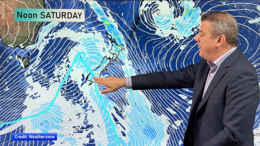
A northwesterly airflow strengthens over New Zealand today, a cold front moves onto the lower South Island this evening.
Northland, Auckland, Waikato & Bay Of Plenty
Any morning mid level cloud breaks then expect sunny areas and some high cloud. West to southwesterly winds.
Highs: 21-22
Western North Island (including Central North Island)
Morning mid level cloud breaks to sunny areas and some high cloud, overnight rain. Breezy northwesterly winds.
Highs: 17-19
Eastern North Island
Mostly sunny with some high cloud, light northwesterlies.
Highs: 23-25
Wellington
Sunny areas and thickening high cloud, strengthening northwesterly winds.
High: 18
Marlborough & Nelson
Sunny areas and thickening high cloud, northwesterlies becoming gusty later in the evening. Overnight spots of rain.
Highs: 21-22
Canterbury
Increasing high cloud with northerly winds, evening spots of rain possible. Heavy rain develops about the high country in the evening.
Highs: 19-22
West Coast
Patchy showers in the morning then rain develops by midday about Fiordland, rain becoming heavy then easing overnight. Rain moves into North Westland in the evening.
Highs: 14-16
Southland & Otago
Mostly cloudy, may be a spit or shower about Southland. Rain develops for most areas in the evening. Northwesterly winds.
Highs: 13-19
By Weather Analyst Aaron Wilkinson – WeatherWatch.co.nz
Comments
Before you add a new comment, take note this story was published on 18 Dec 2019.


Add new comment