> From the WeatherWatch archives
It looks like a cracker of a Thursday across New Zealand. With a few exceptions of course.
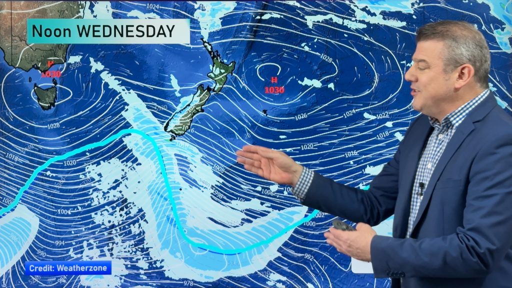
The first, and most prominent, problem area today will be the deep south of the South Island. A cold front will be moving on shore today. This is the focus for showers for today. The best chance for showers will be found in Invercargill this morning. But all of Southland and Otago are likely to be getting wet today. If not this morning, then this afternoon.
The other areas that have a pretty good chance of seeing some shower activity today are Gisborne and the Bay of Plenty.
Gisborne could see a quick shower or two this morning.
This afternoon, an onshore flow is expected to develop for the Bay of Plenty. That could pop a few showers late this afternoon and this evening. The best chance will be about Tauranga and Te Puke. However, even some inland areas like Rotorua could see some a few passing showers.
Of course, Auckland will have to be included in on that chance for passing late day showers. However, it’s a pretty small chance.
Everyone else is looking settled for today.
Highs will range from the mid and upper teens for Southland and Otago, although some lower 20’s will likely be found inland later today.
The rest of the South Island should also see highs in the lower 20’s today. Some mid 20’s are possible in the far north.
The North Island should generally be in the low to mid 20’s. Some slightly cooler highs are possible about Wellington.
Comments
Before you add a new comment, take note this story was published on 8 Feb 2012.


Add new comment
Guest on 8/02/2012 10:38pm
When will this chain of easterlies end. Its causing the worst string of bad summer weather I can remember here on the South Island’s east coast, dull and cloudy with fresh cool winds everyday for at least a week. Makes winter look nice.
Reply
WW Forecast Team on 8/02/2012 10:48pm
Hi there – yes we’ve certainly seen more in Canterbury and other parts of the country than last summer. Unfortunately we see no end in sight (generally speaking). We’re getting them due to the location of the highs that are coming in – possibly not directly La Nina related either, but certainly La Nina doesn’t help. These highs are coming in from south of Australia and have very high pressure – this helps create a strong sou’easter as they move in…then when we seem them depart we see nor’easters.
March should herald a shift in the pattern, but at this stage the rest of February looks fairly similar.
– Cheers
– WW
Reply