Thursday’s Big Picture: Rain for almost everyone at some point
17/02/2016 10:03am

> From the WeatherWatch archives
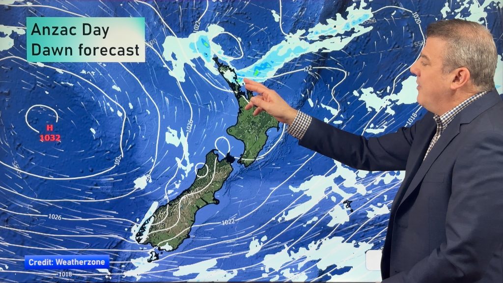
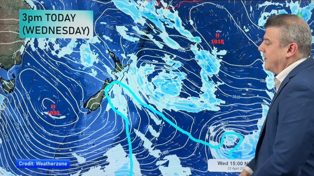
A strong northwesterly airflow lies over New Zealand, while a front over the North Island moves off to the east during the morning.
Another frontal feature moves over the South Island in the afternoon or evening, coming in from the west and pushing northeastwards.
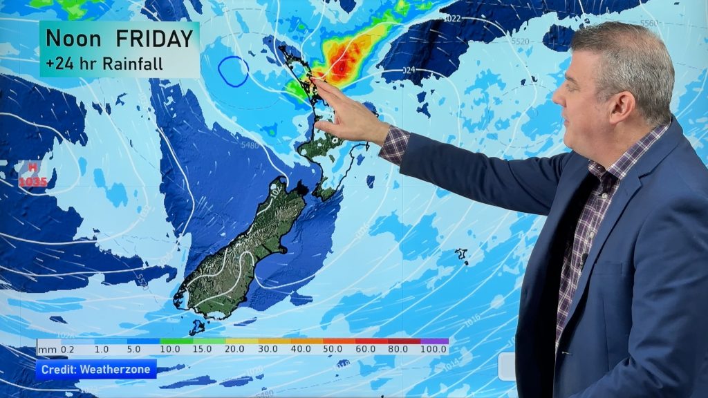
All around the North Island, early rain eases to showers, before they become heavy again in the afternoon, with possible thunderstorms from Northland southwards through to the central North Island.
The East Coast sees areas of cloud and showers at times, spreading from the west, while Wellington sees early showers clear to a mostly fine afternoon, and some overnight cloud and rain move in.
The South Island basically has rain in the west, with heavy falls from afternoon plus poss thunderstorms once again.
A few showers may spread eastwards late in the afternoon and evening.
In Southland and Otago, early showers clear before more move in after lunch, along with thick gloomy cloud.

– Aaron Wilkinson & Drew Chappell, WeatherWatch.co.nz
Comments
Before you add a new comment, take note this story was published on 17 Feb 2016.


Add new comment