Thunder, rough seas and downpours again – #WeatherRisks and your Main Centre outlook on Thursday
27/01/2016 6:00pm

> From the WeatherWatch archives
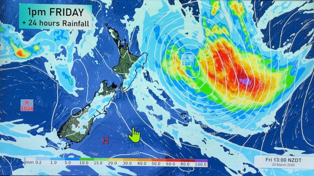
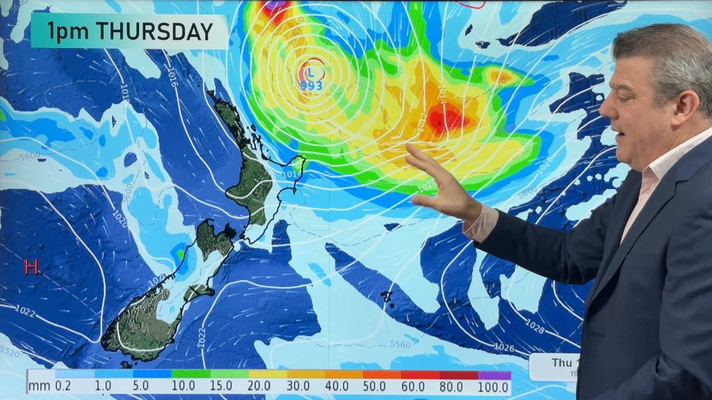
On Thursday, ex tropical cyclone Victor sits just off East Cape – slowly sliding southwards.
This may bring some very heavy rain to the East Cape, easing in the afternoon and evening.
Big swells are possible once again for coastal areas, which you can check out on our swell maps, here.

Then we have Northland, where there could be heavy isolated showers in the afternoon, along with a risk of thunderstorms too.
The same goes for the Waikato, northern parts of Tarnaki and perhaps inland Bay Of Plenty.
Main Centres
Auckland
Sunny and warm, with light easterlies and the chance of a late shower or two – and temperatures once again in the upper 20s.
Wellington
Morning rain eases to patchy drizzle as the day goes on, temperatures won’t get much above the mid teens, as southerlies start to bite.
Christchurch
Mainly cloudy after a drizzly start, and southerlies blow through as well, keeping temperatures in the mid to late teens at most.
– Aaron Wilkinson & Drew Chappell, WeatherWatch.co.nz
Comments
Before you add a new comment, take note this story was published on 27 Jan 2016.


Add new comment