> From the WeatherWatch archives
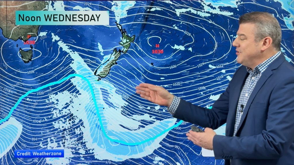
As the storm continues to show its hand, we are getting a better idea of who is going to see the heaviest rains and where the flooding threats are the highest.
For that reason, warnings continue to be tailored to fit the situation as it unfolds. Here’s the latest from MetService on their warnings as of 11:55 this morning.
On the North Island;
- Northland, mainly north of Whangarei; From now until 3am Friday up 100mm of rain is possible. Especially in the eastern hills. Additional heavy rain is possible during the day on Friday and into Friday night
- Wellington and the Kapiti Coast; Rain is expected to become heavy at times from the early morning hours on Friday until Friday night. Up to 90mm of rain is possible during this time with rainfall rates of 10 to 15mm
- Bay of Plenty; Rain is expected to become heavy at times from early Friday morning right through Saturday into early Sunday morning. During that period, up to 200mm of rain is possible in some of coastal hills and ranges. Up to 100mm is possible in the lower lying areas. Rainfall rates could reach up to 20mm per hour.
- Taranaki; Heavy rain is expected to develop this afternoon, especially about the Mountain. Periods of heavy rain are likely until Saturday afternoon. Between mid-afternoon today and mid-afternoon Saturday, expect 200mm of rain about Mt Taranaki, with 100mm possible in lower lying parts of Taranaki. This is especially true for areas north of the Mountain. Intensities are likely to reach 20mm per hour at times about the Mountain and possibly in some low lying areas during Friday and Saturday. Indications are that there is also a possiblity of the heavy rain continuing through to Saturday night.
On the South Island;
- The Nelson Region and Northern Marlborough, especially the RIchmond ranges, Rai Valley and Sounds; Heavy rain is expected to set in this afternoon and continue through to Friday night. From early this afternoon until midnight Friday, expect 150 to 200mm of rain in the coastal hills and ranges, especially about Golden Bay, with 100 to 150mm in some lower lying areas. Intensities are likely to reach 10 to 20mm per hour at times and possibly 20 to 30mm per hour about the coastal hills and ranges of Golden Bay.
Heavier rainfalls may move into the Christchurch area late tonight and during the pre-dawn hours of Friday. However, the rain is not expected to be heavy enough to prompt warnings at this time. It would not take much of a shift in the track of the heavyier rains to change that. However, at this time it looks like Christchurch will see just a brief shot of heavy rain. Spotty showers may continue on Friday. Drier weather moves in on Saturday.
From MetService and WeatherWatch.co.nz
Photo courtesy of Zelda Wynn
Comments
Before you add a new comment, take note this story was published on 28 Dec 2011.


Add new comment
diana on 29/12/2011 11:06pm
Phil.. we have had light drizzle on and off around palmerston north and Feilding.. where is the storm – are we going to see it?
Reply