
> From the WeatherWatch archives
Conditions easing today for the North Island, calmer for the South Island although not for long as a front pushes onto the far south around midday then moves northwards. A southeasterly airflow covers the North Island on Wednesday while a ridge of high pressure quickly moves over the South Island.
Areas of cloud and occasional sun for the upper North Island today, a few showers about also especially this morning, the odd isolated shower may hang around into the afternoon. Mostly cloudy along the east coast with morning showers clearing, overnight a few patchy showers may move in again. Early showers clear in the west then sunny areas develop in the afternoon.
For the South Island conditions are mainly settled, some morning cloud about the upper South Island breaks away. Around midday a fresh southwest change moves into Southland bringing a few showers, pushing northwards reaching Canterbury in the evening.
A southeasterly airflow lies over the North Island on Wednesday bringing cloudy skies in the east with the odd patchy shower, conditions are sunnier out west although there may still be some cloud at times. A shower or two may affect Northland in the afternoon.
Morning cloud with the chance of a shower for the upper South Island then sunny areas increasing from afternoon, winds from the south early on then easing. Chance of a morning shower about Southland and Otago then becoming mostly sunny in the afternoon. A mostly sunny day for the West Coast although expect some morning cloud for Buller.
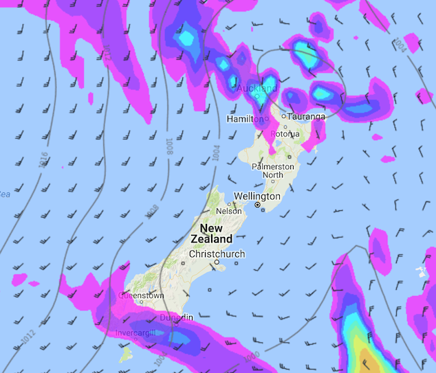
Tuesday 01st May 2018 3:00pm MSLP / Rain map – weathermap.co.nz
WeatherWatch.co.nz
Latest Video

Wintry weather coming: Snow, rain, wind & sunshine
A cold front is moving into NZ from Friday to Sunday with low pressure developing west of NZ and then…
Related Articles
Wintry weather coming: Snow, rain, wind & sunshine
A cold front is moving into NZ from Friday to Sunday with low pressure developing west of NZ and then…

ClimateWatch: JULY outlook & what El Niño means for NZ
El Niño is officially here and still getting stronger in the months ahead, but it’s harder to notice its effects…

Low pressure heading to NZ this weekend & into next week
Many regions have settled weather at the moment with frosts as far north as Auckland this morning, but still some…

