Temperature trends – The script flips, cooler than average for the eastern North Island tonight
29/07/2020 4:00am

> From the WeatherWatch archives
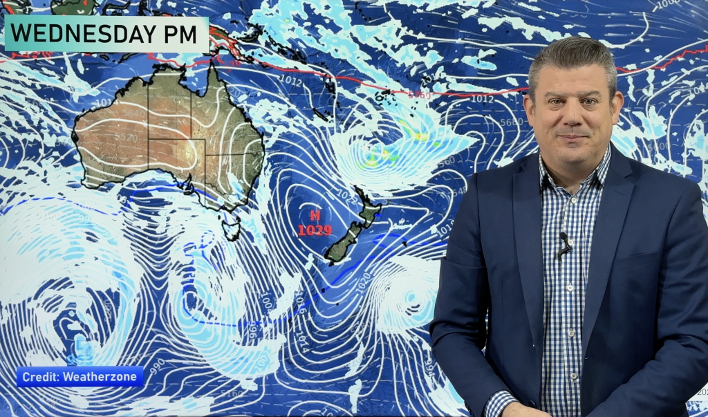
Often we talk about how cold Central Otago will be overnight, being further south it makes sense normally. But tonight with a ridge of high pressure clinging onto the North Island and a northerly quarter airflow increasing over the South Island, tonights coldest overnight lows will be for the eastern North Island.
The coldest overnight temperatures go to The Central North Island getting down to 0 degrees, east of there 2 degree overnight temperatures can be expected for Hawkes Bay and Gisborne. The warmest lows will be about Auckland through to Northland at 11 to 13 degrees.

Warmer than average for many parts of the country on Thursday due to a subtropical north to northeasterly airflow, highs of 16 to 17 degrees can be expected for eastern regions and Northland. Other max temperatures can be seen in the map below.

For Max & Min NZ Temperature maps for the next few days and nights ahead, please visit our new maps page: https://www.weatherwatch.co.nz/maps-radars/temperature/temperature
By Weather Analyst Aaron Wilkinson – WeatherWatch.co.nz
Comments
Before you add a new comment, take note this story was published on 29 Jul 2020.


Add new comment