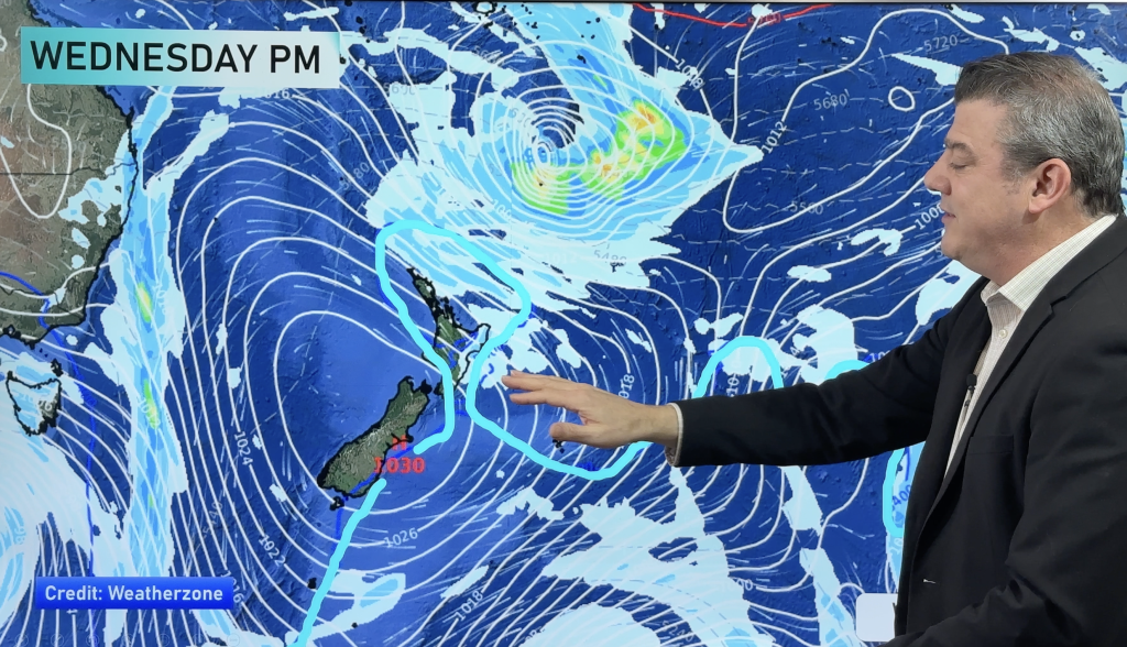
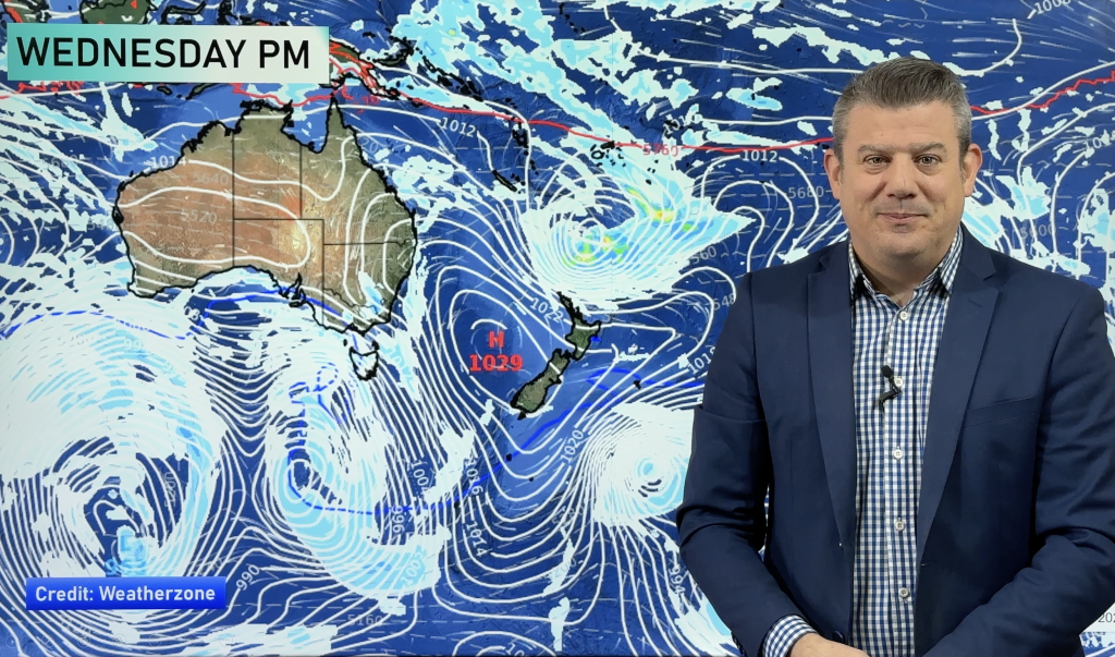
Temperature trends – Cold SW winds, becoming colder on Wednesday
29/06/2020 7:00pm

> From the WeatherWatch archives
A cold southerly quarter airflow lies over New Zealand today, eastern regions will be most exposed to this airflow bringing in the coldest day time highs. Western regions are a touch warmer, this is especially true for the West Coast of the South Island. The warmest temperatures today will be about Northland reaching up towards 15 to 16 degrees, the coldest about Southland and Otago between 7 to 9 degrees.
Wednesday brings in even colder southwesterlies.

Colder than average overnight lows about the upper northwest of the South Island and most of the North Island tonight, this is mainly due to slightly clearer skies than elsewhere.

For Max & Min NZ Temperature maps for the next few days and nights ahead, please visit our new maps page: https://www.weatherwatch.co.nz/maps-radars/temperature/temperature
By Weather Analyst Aaron Wilkinson – WeatherWatch.co.nz
Comments
Before you add a new comment, take note this story was published on 29 Jun 2020.


Add new comment