> From the WeatherWatch archives

A blast of Antarctic air (inside circle) shoots into the Tasman Sea. It’s this air which will turn rain to heavy snow along the Southern Alps tonight and across the Central North Island tomorrow. Image courtesy weather.com.
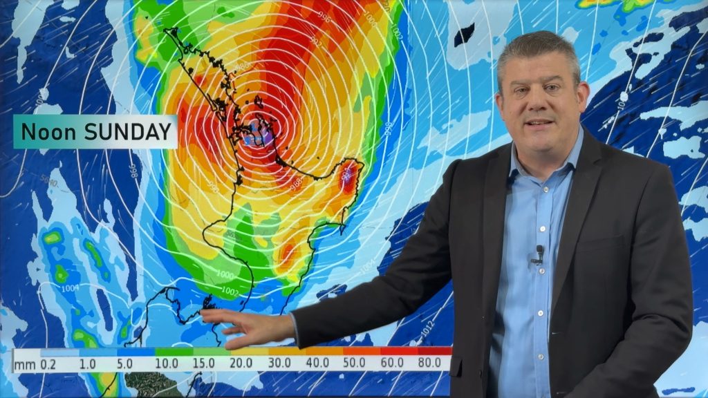
Heavy rain, snow, gales, thunder and hail – not exactly a forecast many New Zealanders want to hear as a large area of low pressure shifts onto the country. Western and central areas will be most exposed to the severe weather with the main front is now moving up the West Coast. Head weather analyst Philip Duncan says it may be a restless night for some. “Heavy showers, some with hail, coupled with thunder and winds up to gale force may wake a few of us up overnight tonight”. Mr Duncan says the weather sounds bad but probably wont cause too much damage. “This storm covers a huge area which is a good thing – it’s spreading the energy over a much greater space which decreases it’s intensity”.
Most exposed to the wintry blast will be coastal areas along the nation’s west coast. “These downpours and thunderstorms will come right off the sea pushed along by a gale force westerly in some places. Surface flooding is a possibility in these places overnight and tomorrow”.
Already today the Weather Watch Centre’s lightning radar has picked up over 5200 lightning strikes, mostly out in the Tasman where the nastiest part of the storm still lies.
“Friday looks like it will be pretty rough for western and northern regions with a number of small fronts zipping by”. Mr Duncan says conditions aren’t expected to clear until mid way through next week.
Despite the nasty weather predictions many regions hit by flooding last month aren’t likely to see a repeat. “This system is moving in from the opposite direction, so a number areas vulnerable last time, will be sheltered this time around. If you’re concerned just keep up to date with the latest weather news at weatherwatch.co.nz and the latest weather warnings issued by MetService”.
Mr Duncan says Waikato is probably the most recently flooded region still exposed to heavy rain from this system. “This storm is very different in its set up to July’s one as it’s moving in from the south west and not from the moist sub-tropics. However heavy falls are possible which means isolated pockets of surface or flash flooding are possible – and of course the bigger concern will be how much rain falls in the upper Waikato River catchments, around Taupo. There may be some delayed flooding as the storm surge moves down the Waikato river in a few days time”.
He says concerned locals along the river should stay up to date with MetService weather warnings and Environment Waikato.
Eastern and southern parts of the North Island may also see winds reaching severe gale for a time overnigh or tomorrow as the norwester blasts through.
However Canterbury will continue to enjoy mainly sunny weather again tomorrow and possibly Saturday. “Christchurch and surrounding towns will be sheltered by the Southern Alps. With snow falling on Dunedin’s hills, snow on the Alps and some rain in Marlbourgh, Canterbury should be relatively in a world of its own tomorrow”. But Mr Duncan says a relatively small cold blast is still expected to move through late on Sunday or early Monday with wind chills dropping to near or below zero for a time”.
Government forecaster, MetServic,e has issued a number of weather warnings. They can be found in the weather section at newstalkzb.co.nz
Comments
Before you add a new comment, take note this story was published on 14 Aug 2008.


Add new comment