Sunday’s national forecast – NZ is stuck on the edge of a high (+6 Maps)
27/02/2021 3:00pm

> From the WeatherWatch archives
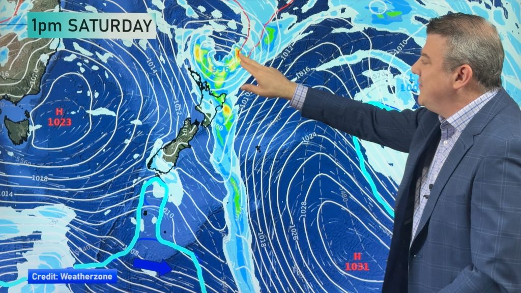
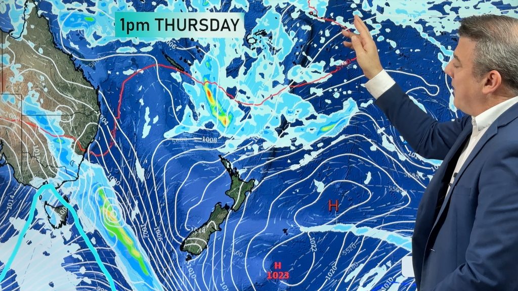
A powerful high pressure belt lies to the east of NZ and has dominated our weather for over a week now. With the centre of this high well to the east much of NZ is getting the warm north to north east flow.
This is pushing daytime highs up several degrees above average for those in the south of both islands, but especially the South Island.
Overnight lows in northern NZ remain high with temperatures barely dipping below 20 degrees around Auckland.
A few showers are forecast, a couple may be heavy in the afternoon but they will be isolated.
Check your LOCAL and HOURLY forecasts to drill down deeper , or visit www.RuralWeather.co.nz – NZ’s largest weather data website.


Map (above) – Key (below)


Comments
Before you add a new comment, take note this story was published on 27 Feb 2021.


Add new comment