Sunday’s national forecast – Now the rain clouds gather, winds pick up in upper North Island (+InfoGraphics)
30/05/2020 4:00pm

> From the WeatherWatch archives
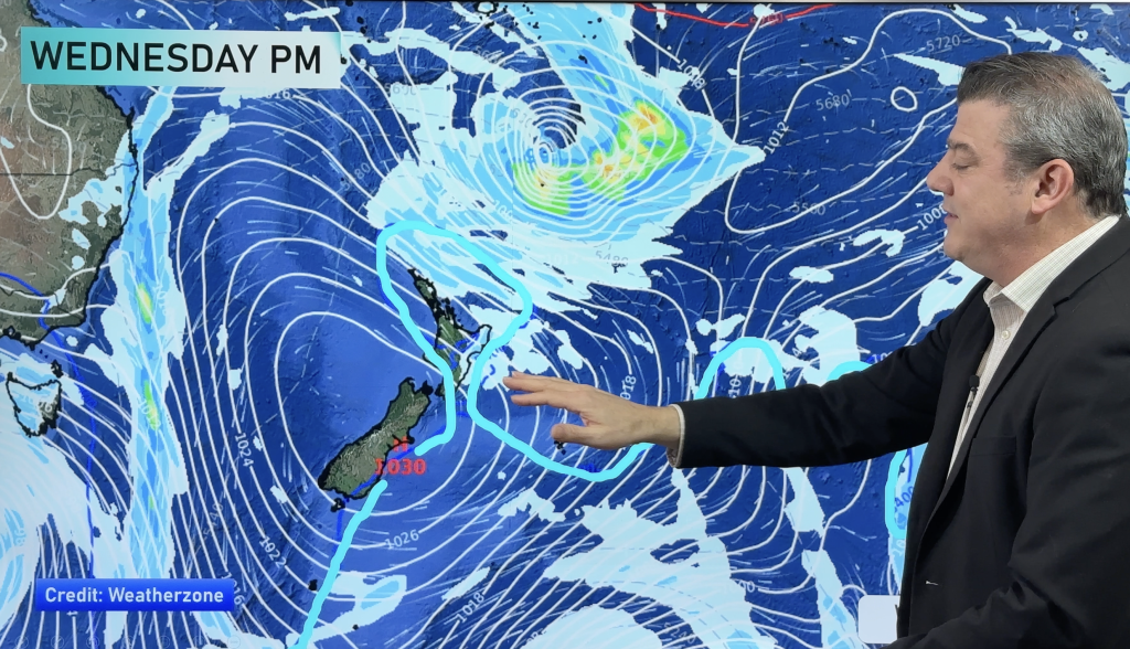
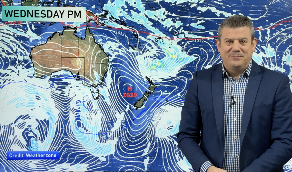
High pressure balloons out to the east and north east of NZ today, encouraging a sub-tropical and developing wet airflow.
Many places may start the day dry but by evening rain – along with gusty easterly quarter winds north of Auckland City and eastern Waikato – will move southwards into the upper North Island.
Heaviest rain will be overnight tonight and into Monday – and we’ll have a more detailed rain update mid this morning about where the wettest areas will be. (Plus several other maps).
The South Island has another mostly sunny day after a cold (frosty for some) start. It really should be a spectacular day in many places, but the upper regions like Nelson and Marlborough should see increasing cloud.
To drill down locally use the hourly data in our local WeatherWatch forecasts – as it shows hourly and daily rainfall totals and wind speeds, or the graphs and data at www.RuralWeather.co.nz for much more.


Comments
Before you add a new comment, take note this story was published on 30 May 2020.


Add new comment