> From the WeatherWatch archives
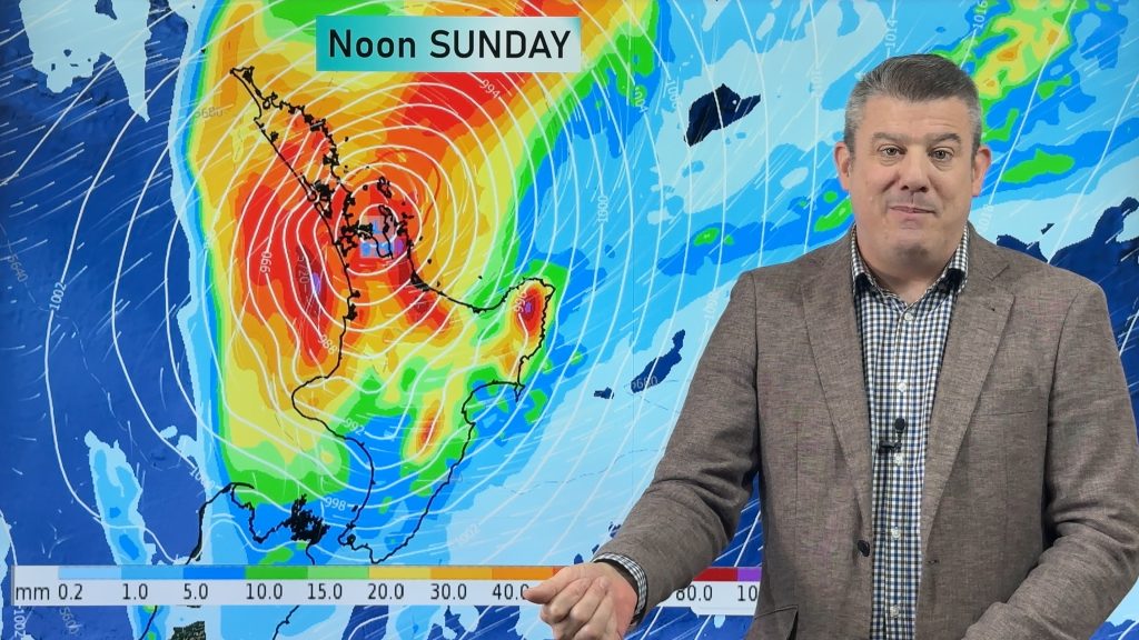
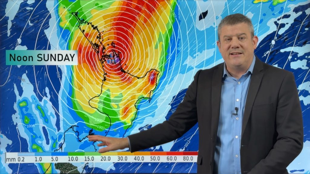
A band of rain is moving across the upper North Island and will clear the island this afternoon to the east, leaving showers developing behind it.
Mostly settled elsewhere but becoming cloudy in many areas with showers developing around the lower half of the South Island inland.
Warmer than average in a number of places today.
HIGHS: 11 to 23 degrees (quite a spread!). Coolest weather through central/inland Otago and warmest in the east of the North Island.

– 1pm Sunday forecast rain radar shows a front clearing away from the North Island to the east and showers developing in the lower South Island. Map by MetOcean.
– WeatherWatch.co.nz
Comments
Before you add a new comment, take note this story was published on 27 Oct 2018.


Add new comment