> From the WeatherWatch archives
It’s been a rough 24 hours for some parts of the country with houses flooded on the West Coast yesterday, gales in exposed places from Northland to Auckland to Wellington and heavy rain across a number of western districts.
Overnight winds gusted to 135km/h in exposed parts of Auckland (Manukau Heads) with gales roaring across exposed parts of the city. After a settled June, July has roared in to life for much of New Zealand.
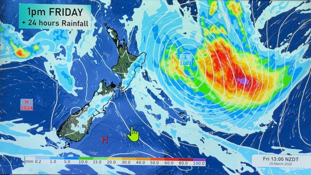
Today will see the rain clouds slowly falling apart and winds slowly easing as the deep low, responsible for the severe weather, quickly moves away to the south east of the country.
From the Tasman Sea comes a large high pressure system which will bring clearing weather to central and southern regions later today and into the North Island during Saturday. Sunday looks settled almost everywhere as the high spreads across New Zealand.
A colder southerly or south-easterly flow means a cooler weekend is on the way and with the lack of wind it could mean a return to frosts for sheltered places, especially inland parts of the South Island.
Early next week sees another system moving in from the southern Tasman Sea bringing more gusty nor’westers to the country and rain to the west coast. It seems the Spring weather pattern has arrived a little earlier this year following an earlier start to Winter.
Comments
Before you add a new comment, take note this story was published on 23 Jul 2009.


Add new comment
SW on 23/07/2009 11:27pm
Hope the low pushes in from the south therefore we wont get much SW winds,though its fairly calm this morning it looks soon it will start screaming from the southwest.
Reply