> From the WeatherWatch archives
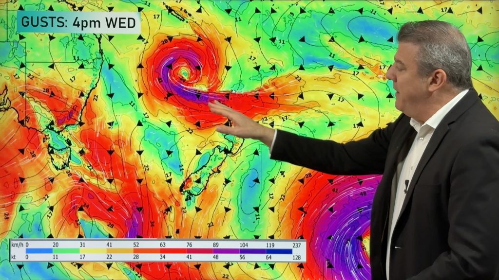
Severe gales and torrential rain are on the way for a number of regions this weekend and into early next week as a low pressure system quickly explodes into life in the Tasman Sea.
The front and low, which are coming off Australia’s east coast, will push against a large high, currently over New Zealand, creating our first belt of gales in some time.
WeatherWatch.co.nz says that residents in Canterbury, exposed parts of Marlborough, Wellington and Wairarapa should be well aware of the potential severe gales, especially those near the ranges.
WeatherWatch.co.nz predicts the strongest winds will be on Sunday but gusty conditions may well start as early as Friday night in Southland and some areas about the Southern Alps.
The strong winds may put an end to skiing plans this weekend with severe gales likely at most, if not all, ski fields in the South Island. Strong winds are expected about Mt Ruapehu and Taranaki late on Saturday or during Sunday with rain setting in.
Torrential rain is also moving in with MetService predicting up to 300mm for those in the west, south of Mt Taranaki.
WeatherWatch.co.nz says the stormy weather is likely to peak on Sunday and Monday with strong westerlies and warm, wet, weather right through most of next week.
Comments
Before you add a new comment, take note this story was published on 29 Jul 2010.


Add new comment
Ken Ring on 30/07/2010 1:55pm
This system is the second lot of bad weather in as many weeks, about a week apart, arriving as expected. This coming week may get fairly stormy. In the north most August rain amounts may be this coming week, around the midmonth, then in the last 7 days. Winds will be mostly from the west for all of August, which brings more rain than SWs, so Canterbury will not be as much affected as the North Island. August should be the wettest month in 2010 for the country as a whole. August temperatures will be about average, but September minimums will go back down to around the July average..brr..
Reply
Brendan on 29/07/2010 7:48pm
Hi there, is Tauranga going to be in the firing line with the new storm moving in?
Thanks
Brendan
Reply
WW Forecast Team on 29/07/2010 9:28pm
It looks as though you’ll be on the outer fringes of it – but strong nor’westers and some heavy rain will affect you Sunday night/Monday morning.
– WeatherWatch
Reply