> From the WeatherWatch archives
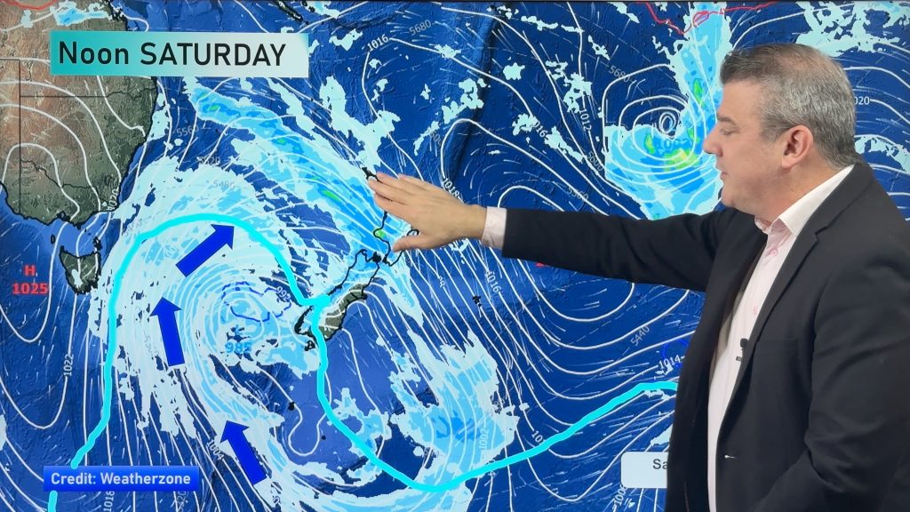
If you’ve been wanting the winter weather to be over you’re in luck – a spring storm is moving in bringing with it the usual strong winds to central and southern parts of New Zealand starting Monday.
Head weather analyst Philip Duncan says we’ll likely see a shift from days of rain to days of wind. “Typically spring weather is faster moving and much windier. The skies become a battlefront between highs and lows with the air pressure being squeezed creating very strong winds”.
The high that gave most New Zealanders a sunny weekend – including Auckland by Sunday – is still strengthening and may well reach 1050hPa. “This is quite rare for this time of year – but while it’s summer-like in strength it’s not lazy like a summer-high…it wont be with us for long”.
The high finally brought sunny weather to Auckland however easterlies have been quite blustery especially near the eastern coastline. Winds have been up to 50km/h at times.
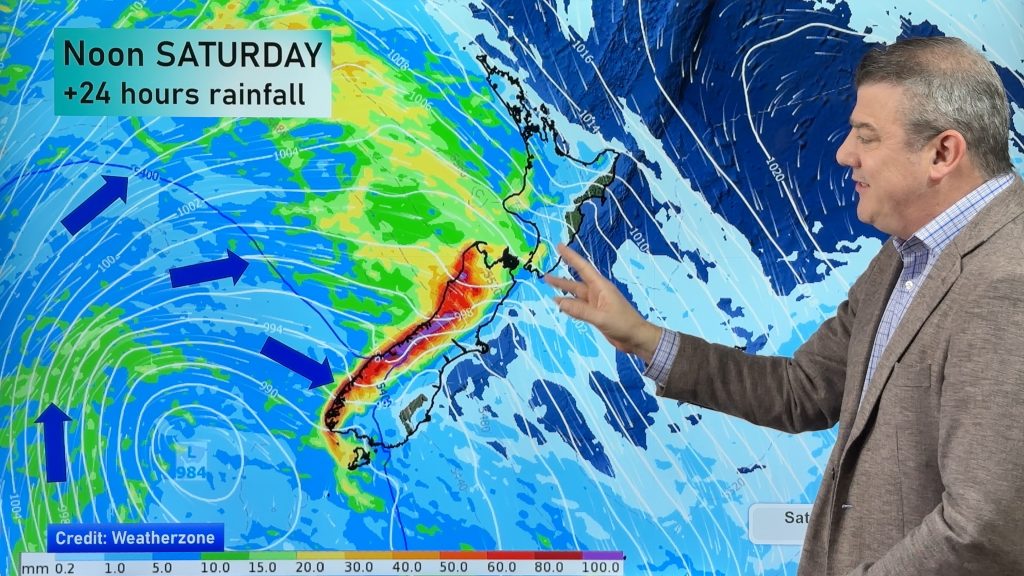
But the strongest winds are going to be over the South Island tomorrow, where severe gales are expected to develop over inland areas of Southland and Otago – where they may even reach hurricane force for a while.
MetService has today issued a number of severe weather warnings – predicting “severe gale gusts of 120 to 150km/h” for Southland and Otago. Heavy rain warnings have also been issued for a large portion of the West Coast. You’ll find all the warnings in the “weather” section at newstalkzb.co.nz.
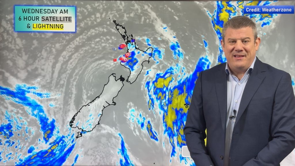
Meanwhile a low may develop north of New Zealand on Thursday bringing rain to northern or north eastern parts of the North Island. We’ll be monitoring it closely and will bring you updates when we have them.
Comments
Before you add a new comment, take note this story was published on 31 Aug 2008.


Add new comment