> From the WeatherWatch archives
The weather has been chopping and changing a lot lately with wind, rain, sun, warmth and snow all in the mix so far this month.
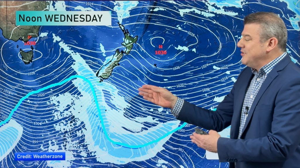
However WeatherWatch.co.nz forecasters say after the cold snap for Wednesday, in mostly southern areas, many places will see conditions start to slowly improve, with the weekend and early next week looking much more settled.
WeatherWatch.co.nz says temperatures have tumbled for some places this month due to more southerlies, however these colder winds look set to fade out late this week as a high rolls in during the weekend.
In fact high pressure systems often step up in size and strength around August and September in our part of the world and some models indicate we’ll see more settled weather for the second half of August than we did in the first half.
Next week looks warmer across the country too, with northerlies returning for many places next Tuesday or Wednesday.
Easterlies will blow again for northern New Zealand by Monday.
The high early next week will also help dry things out in saturated Southland and the West Coast.
Rain may return to NZ later next week on the back end of this high.
A small area of sinking air pressure near Bay of Plenty on Sunday may also try and bring some cloud or showers into north eastern parts of the North Island, but it’s far too small to lock in yet.
Generally speaking this weekend looks sunnier, drier and warmer during the days for many regions with colder nights under clearer, calmer skies.
– WeatherWatch.co.nz
Comments
Before you add a new comment, take note this story was published on 12 Aug 2014.


Add new comment