> From the WeatherWatch archives
Certainly a lot of attention is on the upcoming blast arriving late Sunday and in to Monday – but many want to know what today will be like – and in a nutshell, it’s not looking too bad.
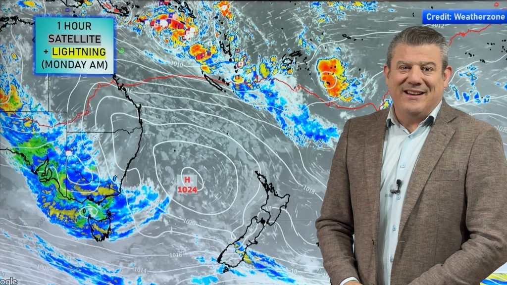
The situation is this: A very weak low pressure system is forming north of New Zealand. It appears on the satellite map as that blob of cloud over northern NZ.
This low will develop a little further today and may bring a few showers and drizzle into Northland and possibly Auckland this evening. It’s no biggie and isn’t likely to bring much precipitation.
Over the South Island a very weak front is disintegrating as it heads north…it will bring a few showers in to the West Coast otherwise conditions will be dry.
So the few showers and clouds that are around today have no relation to what is on the way tomorrow. Tomorrow a deepening low will surge into the southern Tasman Sea near Tasmania – then rush towards New Zealand. As it advances it will push in to a large high to the north east of the country creating strengthening winds.
Severe gales are expected from Canterbury to Gisborne – especially about the ranges – starting late Sunday and going in to Monday.
WeatherWatch.co.nz will have extensive coverage starting this afternoon and across the next 72 hours. Check back for updates.
Comments
Before you add a new comment, take note this story was published on 28 Aug 2009.


Add new comment