Saturday’s national forecast for the last day of daylight saving (+7 Maps)
2/04/2021 3:00pm

> From the WeatherWatch archives
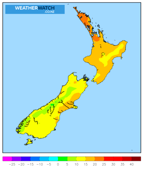
Clocks fall back 1 hour overnight tonight as daylight saving ends and many parts of NZ should have a sunny end to the day to make the most of that last extra hour of end-of-day sunlight.
The forecast is for more high pressure to expand back into the NZ area bringing dry weather, however before dawn Saturday a southerly change falls apart over the North Island with a few showers, clearing away by mid morning in the east (like northern Hawke’s Bay).
Temperatures will be down in some places today and tonight – but warmer weather is moving back in on Sunday and/or Monday.
As the centre of this next high moves into northern NZ, the windy westerly set up in the south will also move in – bringing windy weather into the usual exposed areas and dangerous beach/marine conditions around Stewart Island, Fiordland and Southland.
As always, refer to your LOCAL and HOURLY forecasts for more details, wherever you are today across Aotearoa.
Outlook:
- Windier weekend due to developing low pressure in the Southern Ocean and fronts extending from their centres.
Impacts:
- Wind:
– Stewart Island & southern coast of Southland: Gales are possible in some exposed areas from Saturday afternoon until Sunday afternoon (In particular, stormy conditions are expected in the remote southern part of Stewart Island from Sunday before dawn to early morning).
– Canterbury & Wellington: Gales are possible in some exposed areas from late Saturday night until Monday dawn. Check your local hourly forecasts for more wind details.


View Rain Forecast: https://www.weatherwatch.co.nz/maps-radars/rain/rain-forecast
Accumulative Rain Maps: https://www.weatherwatch.co.nz/maps-radars/rain/accumulative-rainfall
Latest Video

More eastern rain, but a drier long weekend coming
Rain continues today along the eastern South Island and lower North Island, coming in from the east with heavy falls….
Related Articles
More eastern rain, but a drier long weekend coming
Rain continues today along the eastern South Island and lower North Island, coming in from the east with heavy falls….

More heavy rain, snow – but large dry areas, especially as we go into the long weekend
Heavy rain will continue for parts of Canterbury and Marlborough over the next day or two and it will gradually…

Large low brings rain, downpours & some snow – gets colder as the week progresses
Low pressure will cross the upper North Island in the days ahead and that set-up actually pushes more heavy rain…

