> From the WeatherWatch archives
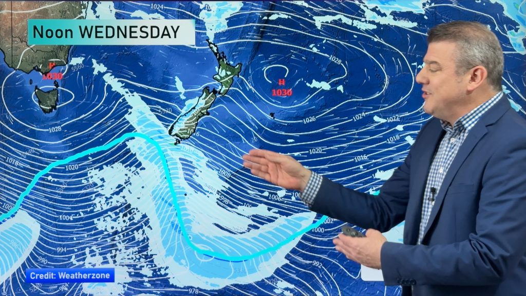
Most of New Zealand is looking at a dry and settled Saturday. However, rain is on its way and by late tonight much of the country should be getting wet. That’s because a long area of low pressure will be unsettling our weather very gradually today.
But most of you won’t see the rain until after dark. The eastern parts of the country will be staying the driest, especially Christchurch where dry weather is expected to remain in place all weekend.
The showers should start to show up this morning along the western and southern sections of the South Island.
This afternoon parts of the North Island will start to see a few showers. Wellington and New Plymouth could see a few drops late this afternoon.
As we get into tonight, showers will move into the northern parts of the North Island, including some possible heavy falls about Northland. In fact, most of the North Island should be getting wet by late tonight. However, Gisborne and Hawkes Bay should remain dry. Marlborough and Canterbury should also remain dry tonight.
High temperatures today probably won’t be quite as warm as yesterday in most places. Gisborne and Hawkes Bay could see mid and upper 20’s. The rest of the country should be in the upper teens and lower 20’s.
By WeatherWatch Analyst Howard Joseph
Comments
Before you add a new comment, take note this story was published on 23 Mar 2012.


Add new comment
adz on 24/03/2012 3:57am
im in timaru and the thermoter outside is reading 37 its not even 24 degrees if it get taken out airport its always windy there …cheeers we off to beach
Reply