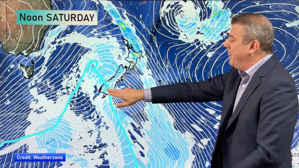
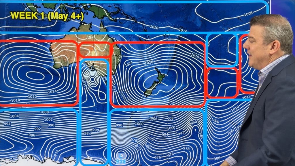
Saturday’s national forecast – Settled with a high (+1 map today)
23/07/2021 4:00pm

> From the WeatherWatch archives
An anticyclone brings mainly settled weather today for New Zealand, a shower or two is about for some parts of the North Island but nothing very dramatic. More details in the forecasts below.
Please refer to your local, hourly, 10 day forecast for more details.
Northland, Auckland, Waikato & Bay Of Plenty
Mostly sunny, cloud becomes a little more frequent from afternoon. A shower or two for western Bay Of Plenty and Coromandel from midday. Light winds tend east to northeast in the afternoon.
Highs: 15-16
Western North Island (including Central North Island)
Mostly sunny, some cloud for the Central North Island, mainly from afternoon. Light east to northeasterly winds.
Highs: 10-15
Eastern North Island
Cloudy areas for Hawkes Bay and Gisborne, a shower or two also then drying out in the evening. Wairarapa has a mix of sun and cloud. East to northeasterly winds.
Highs: 13-14
Wellington
Sunny, light north to northeasterly winds, freshening a little overnight.
High: 13-15
Marlborough & Nelson
Mostly sunny after a frosty start, light winds tend north to northeast in the afternoon.
Highs: 12-14
Canterbury
Sunny after a frosty start, light winds then northeasterlies pick up in the afternoon across the plains.
Highs: 7-11
West Coast
Mostly sunny, some cloud about Fiordland may bring a coastal shower or two. Cloud then increasing elsewhere later in the evening. Northeasterly winds.
Highs: 11-14
Southland & Otago
Mostly sunny with a touch of high cloud from afternoon, light northerlies inland. Northeasterlies pick up a little in the afternoon for coastal Otago.
Highs: 10-14

Comments
Before you add a new comment, take note this story was published on 23 Jul 2021.


Add new comment