> From the WeatherWatch archives
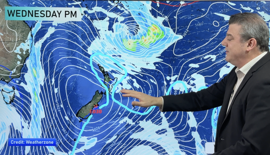
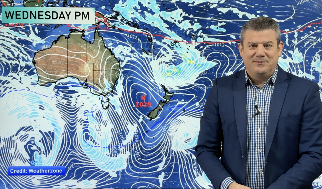
A warm subtropical northeasterly airflow lies over New Zealand today.
Northland, Auckland, Waikato & Bay Of Plenty
Cloudy, the odd spit or shower, especially in areas exposed to the east. Breezy east to northeasterly winds.
Highs: 14-17
Western North Island (including Central North Island)
Plenty of high cloud, Taranaki has cloudy areas. East to northeasterly winds.
Highs: 13-16
Eastern North Island
High cloud, northern Hawkes Bay and Gisborne sees mostly cloudy skies with the odd shower at times. Northeasterly winds.
Highs: 14-15
Wellington
Thick high cloud with north to northeasterly winds.
High: 14
Marlborough & Nelson
Plenty of high cloud for Marlborough. Nelson and the Marlborough Sounds sees cloudy skies, there may be the odd spit or drizzle patch. North to northwesterly winds.
Highs: 14-16
Canterbury
Plenty of high cloud, any morning mid level cloud breaks away. Sun may break through at times in the afternoon. Northeasterly winds.
Highs: 14-16
West Coast
Cloudy, rain south of about Greymouth, the odd spit or drizzle patch further north. Northeasterly winds, breezy about the coast.
Highs: 13-15
Southland & Otago
Mostly cloudy, rain spreads into western Central Otago at times from the west. Light north to northeasterly winds.
Highs: 12-14
By Weather Analyst Aaron Wilkinson – WeatherWatch.co.nz
Comments
Before you add a new comment, take note this story was published on 31 Jul 2020.


Add new comment