> From the WeatherWatch archives
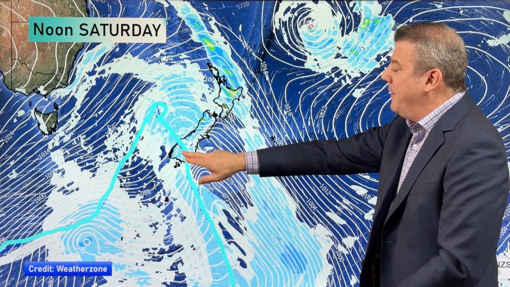
A moderate southwesterly airflow lies over New Zealand today, moving around a large anticyclone in the Tasman Sea.
Northland, Auckland, Waikato & Bay Of Plenty
Early cloud then mostly sunny, southwesterly winds. Winds may tend northerly in the afternoon for the Bay Of Plenty (a sea breeze).
Highs: 19-23
Western North Island (including Central North Island)
Mostly sunny, there may be some high cloud. West to southwesterly winds die out in the evening.
Highs: 17-20
Eastern North Island
Morning cloud with the risk of a shower then mostly sunny with some high cloud, south to southwesterly winds die out later in the day.
Highs: 17-20
Wellington
Some morning mid level cloud breaks to mostly sunny weather and some high cloud, southerlies tend northerly around midday.
High: 16
Marlborough & Nelson
Mostly sunny, some high cloud. North to northwesterly winds.
Highs: 18-22
Canterbury
Mostly sunny, some high cloud. Light afternoon east to northeasterly winds.
Highs: 22-25
West Coast
Mostly sunny weather, any morning cloud clears. Afternoon westerly winds.
Highs: 16-23
Southland & Otago
Mostly sunny, there may be a touch of high cloud. West to northwesterly winds, generally light.
Highs: 23-30
By Weather Analyst Aaron Wilkinson – WeatherWatch.co.nz
Comments
Before you add a new comment, take note this story was published on 1 Nov 2019.


Add new comment