
> From the WeatherWatch archives
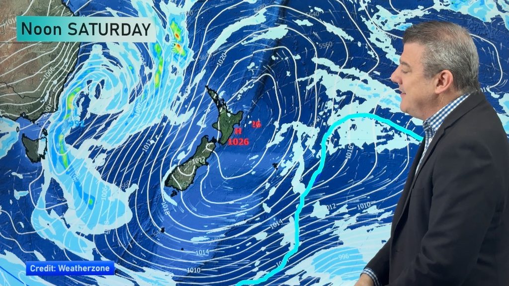
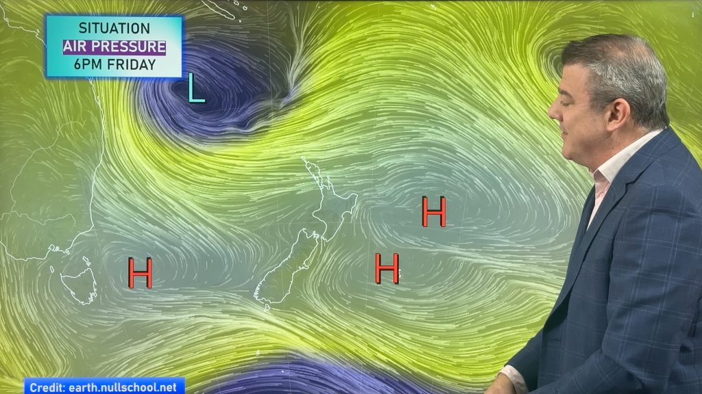
A southwesterly airflow lies over New Zealand today, moving around a large high in the Tasman Sea.
Northland, Auckland, Waikato & Bay Of Plenty
A mix of sun and cloud, may be a shower at times especially in the west. Southwesterly winds freshen from afternoon. The Bay Of Plenty is mostly sunny.
Highs: 15-16
Western North Island (including Central North Island)
Cloudy areas, sun becoming a little more frequent from afternoon. There may be a shower or two at times. Southwesterlies die out in the evening.
Highs: 10–14
Eastern North Island
Cloudy areas and a few showers, clearing late afternoon or evening. There may be some sun late in the day before dusk. Fresh southwesterly winds die away in the evening.
Highs: 12-14
Wellington
May be a morning shower then mostly sunny, southerlies tend northerly late afternoon.
High: 12
Marlborough & Nelson
Sunny with light winds tending north to northeast in the afternoon.
Highs: 13-14
Canterbury
Morning cloud then increasing sunny areas, light southwesterly winds tend northeast in the afternoon.
Highs: 11-12
West Coast
A mainly sunny morning then cloud develops in the afternoon, the odd light shower moves into Fiordland around midday then moving further north in the evening. Southwesterly winds.
Highs: 11-13
Southland & Otago
Morning cloud breaks to sunny spells about Southland. Mostly sunny for Otago with any morning cloud clearing. Northwesterly winds.
Highs: 12-13
By Weather Analyst Aaron Wilkinson – WeatherWatch.co.nz
Latest Video
Your NZ forecast through to King’s Birthday Monday
High pressure continues to control NZ’s weather but a change to wet weather and low pressure is expected during the…
Related Articles
Your NZ forecast through to King’s Birthday Monday
High pressure continues to control NZ’s weather but a change to wet weather and low pressure is expected during the…
A few showers, but still a lot of high pressure
Showers continue in parts of NZ going into the weekend and through next week, we track them for you –…
High pressure still in charge, but a few changes in the mix
High pressure continues to control much of New Zealand’s weather although there will be some wind and temperature changes in…

