> From the WeatherWatch archives
The Spring Equinox arrives tomorrow and along with it comes a big shift in the weather patterns – perhaps taking us well away from the settled weather much of the country has enjoyed so far this month.
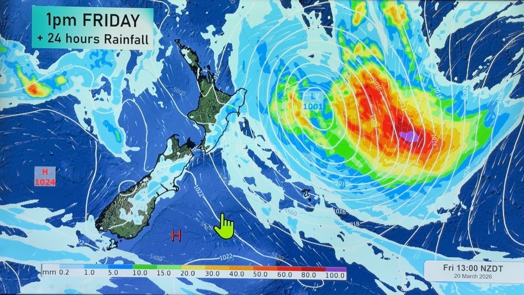
Deep and large lows are now showing up on the computer models for the next 7 to 10 days which could lead to rain and wind warnings being issued later in the week or weekend.
With the lows moving in from the southern Tasman Sea regions most exposed to the rain will be western ones from the West Coast right up to Taranaki and Waikato.
MetService already has high confidence of heavy rain for Mt Taranaki and New Plymouth on Thursday with moderate confidence for other parts of Taranaki plus Waitomo, King Country and the West Coast.
Heavy rain is likely to affect much of the north and west of the country before the working week is out.
WeatherWatch.co.nz believes another major low will follow this one during the weekend and may bring strong to gale force winds for southerners.
Typically the next six weeks can be very stormy across New Zealand as the strong spring weather pattern kicks in.
Comments
Before you add a new comment, take note this story was published on 21 Sep 2009.


Add new comment
SW on 21/09/2009 7:30pm
We need the rain but not the southwesters!
Reply