> From the WeatherWatch archives
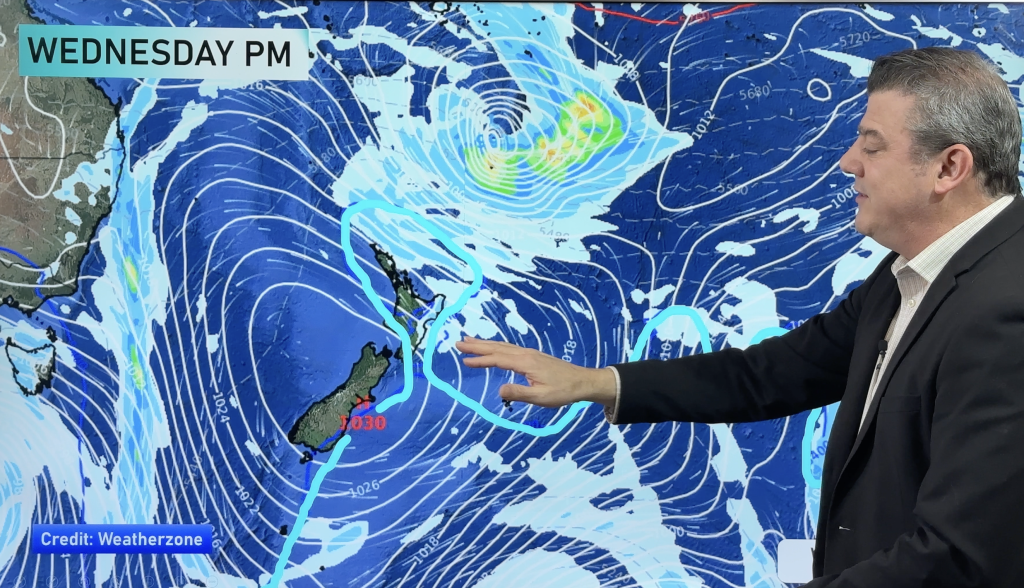
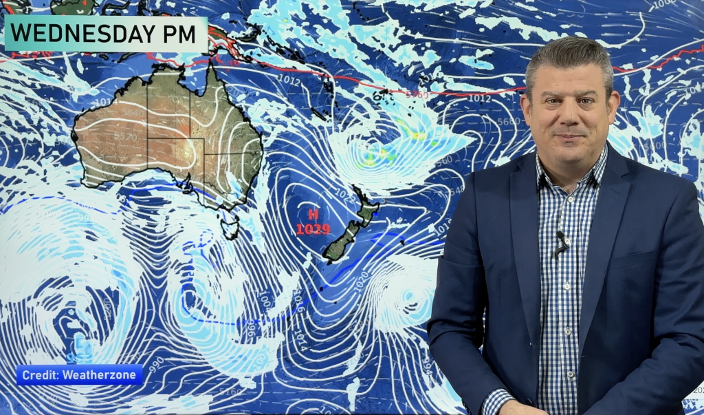
Frontal activity pushes in from the west on Thursday bringing rain or showers to western regions, mainly dry in the east. While the North Island doesn’t appear to receive much rain as in the map below a small area of low pressure brings the outside chance of a few heavy falls to the likes of eastern Northland, Great Barrier Island and the outmost point of Coromandel.

The 4 day outlook below continues its trend of rain / showers in the west and mainly dry weather out east. Southland gets the odd spit then a period of showers spreads through Southland / Otago this coming Saturday with a cool WSW change.

For rainfall accumulation maps for 1, 2 and 3 days out please visit our new maps page: https://www.weatherwatch.co.nz/maps-radars/rain/accumulative-rainfall
By Weather Analyst Aaron Wilkinson – WeatherWatch.co.nz
Comments
Before you add a new comment, take note this story was published on 22 Apr 2020.


Add new comment