> From the WeatherWatch archives
A period of calm moves over New Zealand on Friday due to a ridge of high pressure. We just have a few lingering showers about coastal Hawkes Bay / Gisborne then at the other end of the country in Fiordland. Morning showers about eastern Northland clear away.

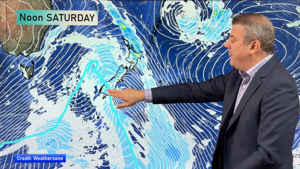
Wet weather certainly ramps up over Saturday through to Monday. Saturday itself is fairly dry then heavy rain moves into the western South Island on Sunday then much of the North Island on Monday, rain looks to push up the eastern side of the South Island on Monday also with a cold southwest change.

For rainfall accumulation maps for 1, 2 and 3 days out please visit our new maps page: https://www.weatherwatch.co.nz/maps-radars/rain/accumulative-rainfall
By Weather Analyst Aaron Wilkinson – WeatherWatch.co.nz
Comments
Before you add a new comment, take note this story was published on 9 Apr 2020.


Add new comment
Peter Langer on 11/04/2020 12:19am
fiordland must be the only place that doesn’t get a drought if it gets more than its share of rain its average must be always going up
Reply
jet on 10/04/2020 12:59am
will nelson get a thunderstorm
Reply
WW Forecast Team on 10/04/2020 3:08am
No thunderstorms 🙂
WW
Reply