Rain, winds and snow on the way for parts of NZ – #WeatherRisks on Tuesday
31/08/2015 7:00pm

> From the WeatherWatch archives
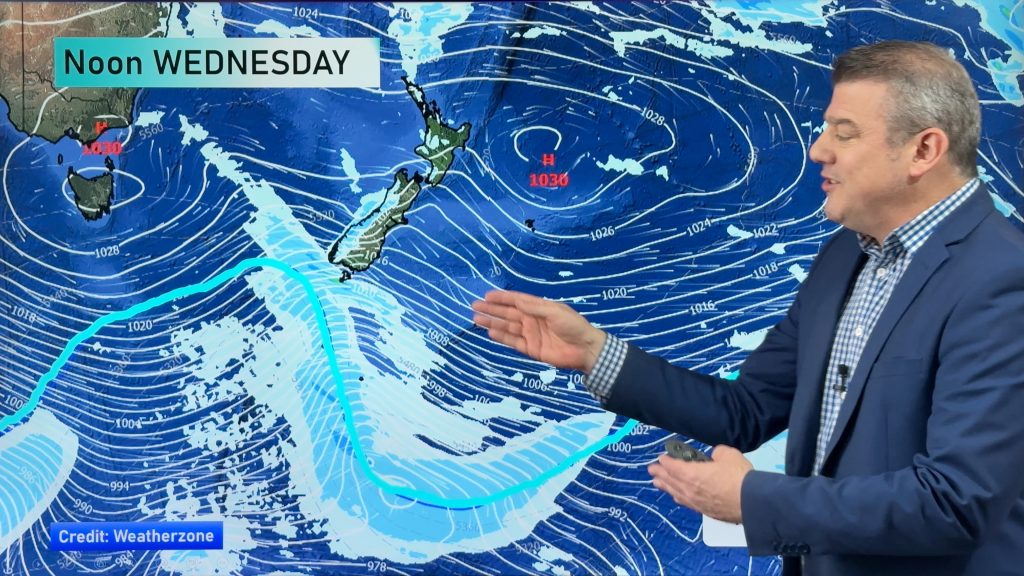
A couple of fronts are coming through to influence our weather this week, with heavy areas of rain and strong gusty winds for parts of the upper South Island especially.
Rain
A front sweeps across the country on Tuesday, from west to east.
The heaviest rain will be about the top of the South Island (Tasman Bay area) and the Bay Of Plenty, but plenty of other regions in the North Island could see heavy rain for a time also.
These conditions then ease as the front clears off to the east in the afternoon and toward evening.
Wind
Northeasterly winds in the morning will be gusty and strong – possibly even gale force about parts of the North Island exposed to the northeast.
Almost everywhere in eastern parts – from Northland down through to the Bay Of Plenty, and also the East Coast of the North Island (Gisborne to the Wairarapa).
Expect strong easterlies to brush the outer Marlborough Sounds and Golden Bay area with gales at times, while Buller also sees strong east to southeasterly winds – with gales at times – then easing this evening.
Most other parts of the West Coast of the South Island see gusty and strong southeaterly winds, but the strongest will be about Buller.
Winds along the east coast of the South Island are gusty from the northeast today also, perhaps even strong at times.
Snow
Some snow is likely about the high country of the South Island, particularly around Marlborough, Canterbury and northern parts of Otago.
Marlborough sees heavy snow but it will be quite high up – so probably not a bother to most people.
Canterbury will see some reasonable snow above 500m, and this could cause issues about high roads and farmers in the high country.
– Aaron Wilkinson & Drew Chappell, WeatherWatch.co.nz
– Photo: Chris Johnson
Comments
Before you add a new comment, take note this story was published on 31 Aug 2015.


Add new comment