> From the WeatherWatch archives
Yesterday the government forecaster dropped their confidence of rain warnings in eastern Bay of Plenty from moderate to low but at the same time increased the risk on the West Coast from low to moderate.
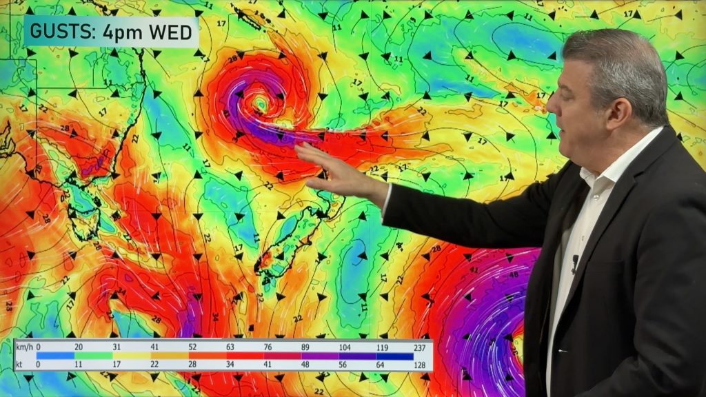
“A depening low over the Tasman Sea is forecast to move southeast and pass south of Stewart Island Thursday morning” says MetService.
“The heaviest rainfalls are expected to be over the West Coast ranges from northern Fiordland to northwest Nelson from late Wednesday evening until early Thursday afternoon and a Severe Weather Watch is in force for these areas. Further heavy rainfalls are expected here during Friday, Saturday and early Sunday as further fronts and troughs cross the area in a disturbed northwest flow.”.
MetService says some heavy rainfalls are also expected in Bay of Plenty overnight Wednesday to mid morning Thursday, especially about higher terrain. Rainfall amounts are likely to remain below warning criteria due to the short duration of any heavy falls. However, significant accumulations are possible about the eastern ranges of Bay of Plenty during this time and a Severe Weather Watch is also in force for this area”.
Homepage image: Jeanie Griffin
Comments
Before you add a new comment, take note this story was published on 24 Aug 2010.


Add new comment
Guest on 25/08/2010 2:51am
OK so what is the weather going to do in Invercargill and Te Anau over the next few days there are conflicting reports.
Reply
WW Forecast Team on 25/08/2010 9:32am
We think there could be a few spots of rain over Thursday, mostly dry Friday, then a cold, wetter change on Saturday afternoon.
– WeatherWatch
Reply