Rain and showers all around – The Big Picture on Wednesday
16/02/2016 5:04am

> From the WeatherWatch archives
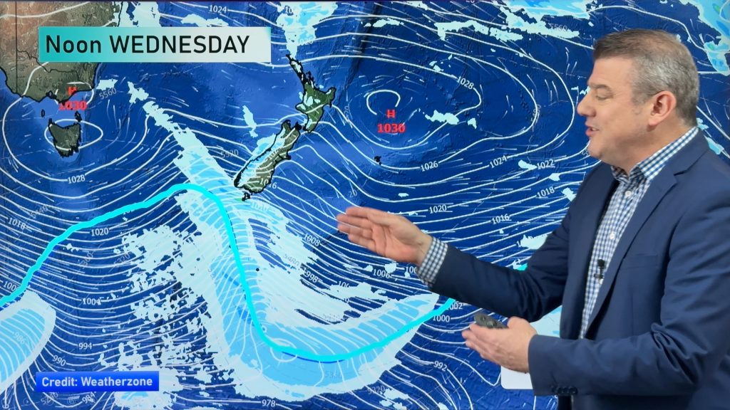
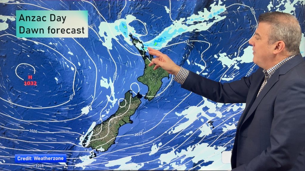
A north to northeasterly airflow strengthens over the country on Wednesday, while a low pressure system sits over the lower South Island, a front curls around this low slowly moving eastwards as the day progresses.
The weather is quite different for various regions through the country, though one thing looks certain: wherever you are, you’re likely to see some rain or showers.
The South Island is wet, with Southland and Otago clear to begin with, before rain and showers move in, while the West Coast will see rain all through the day – as well as thunder and lightning in places.
Canterbury sees a bit of rain here and there, though not as widespread or persistent as elsewhere in the South Island, while Marlborough and Nelson see afternoon showers turn to rain at times, while brisk northerlies blow through the day too.
For the eastern part of the North Island, including Wellington, light showers and some more persistent rainfall settle in from late afternoon or early evening.
The western and northern part of the North Island are also in for cloud, showers and gloom before afternoon brings more persistent rain – and, particularly for Taranaki, possible thunderstorms too.

– Aaron Wilkinson & Drew Chappell, WeatherWatch.co.nz
Comments
Before you add a new comment, take note this story was published on 16 Feb 2016.


Add new comment