
Polar air, thunderstorms, gales – it’s a spring weekend for NZ!
4/09/2026 11:02am
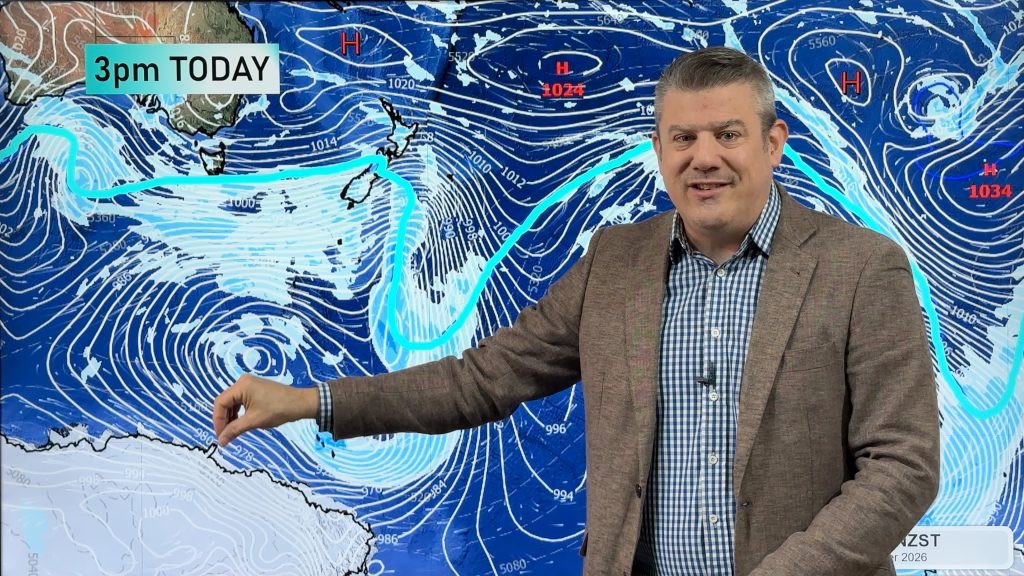
Low pressure is moving into NZ this weekend but before it arrives severe gale westerlies continue with thunderstorms off the Tasman Sea and a huge low pressure zone south of NZ near Antarctica is driving today’s wind and southern cold. Snow will also affect the South Island, mostly above 1000m but may go lower for a time in some areas – this may affect some alpine passes. Hail showers and squally downpours are also expected around the West Coast and Southland, and to a lesser degree parts of the western North Island.
The low moves in on Sunday and Monday bringing widespread rain and showers around the country, followed by a cooler change on Monday/Tuesday.
But next week we may get an even colder change coming thanks to a huge high pressure zone south of Australia.
Latest Video
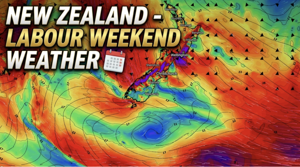
Weather this week & Labour Weekend
High pressure dominates NZ’s weather this week, but slides off much of the country by Labour Day Monday. Despite the…
Related Articles
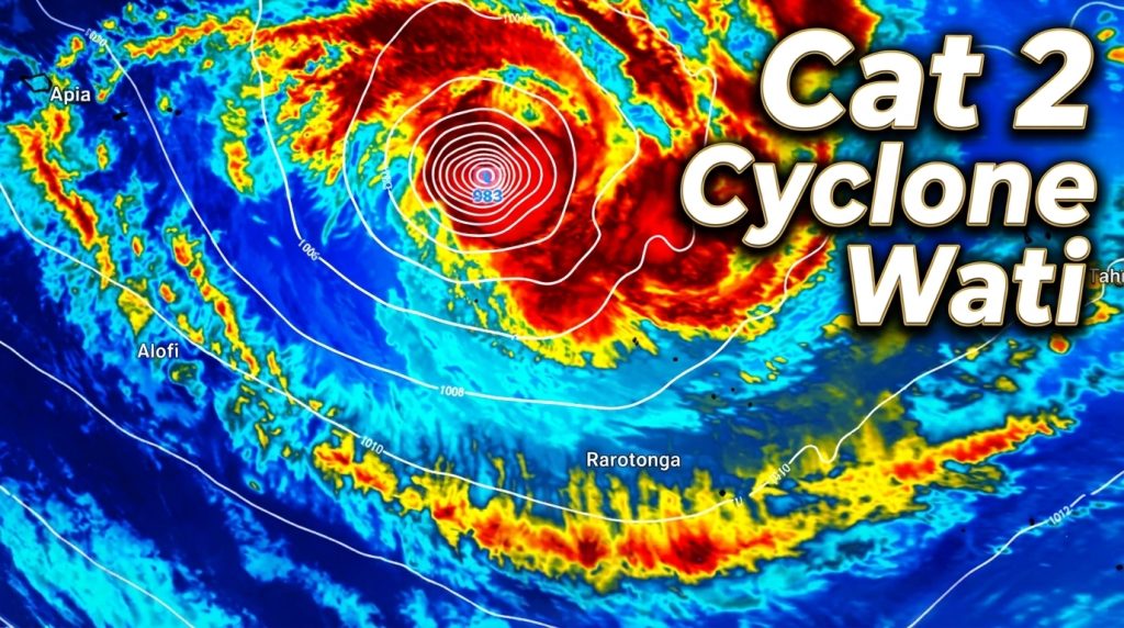
Tropical Cyclone WATI – Update
Sunday NZDT/Saturday Cook Islands Time — We have the latest on Cyclone Wati as it remains a Category 2 Tropical…
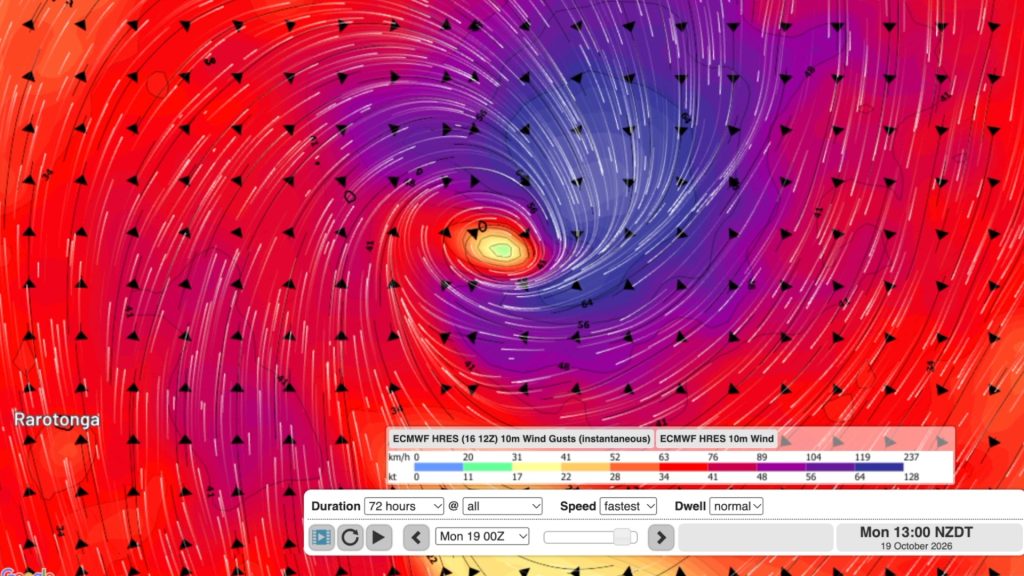
Tropical Cyclone WATI forms, heads to Aitutaki & southern Cook Islands
A Tropical Cyclone has formed before the South Pacific Cyclone Season has even officially started (Nov 1) as El Nino…
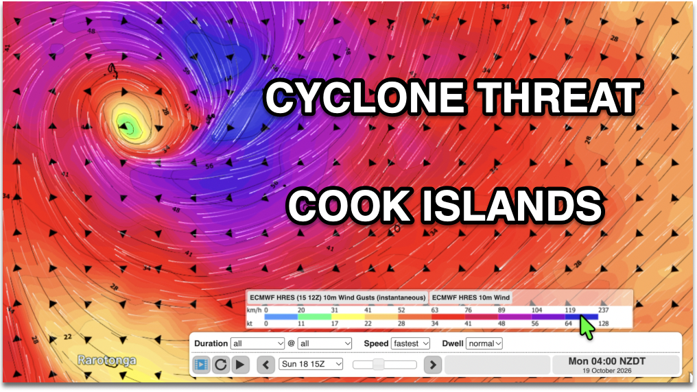
Cook Islands: Tropical Cyclone Developing
Official weather authorities say there is a “high” chance a tropical low will become a cyclone this weekend. Both the…

