
> From the WeatherWatch archives
There seems to be just one or two blips on the radar today and that is for a few showers possibly popping up around Northland (looking at a 30-40% chance) and lurking in the far south is a SW change moving into Southland and Coastal Otago bringing a little rain possibly later today( a 70% chance of rain is on the cards).
Elsewhere, the weather should be mostly fine with a little cloud and mild to warm temperatures.20s are expected in most places and the winds relatively light but in the south, particularly where the change takes place, there should be a noticeable drop in temperature.Invercargill and Gore are looking at highs near the 20 degree mark before the front moves through.
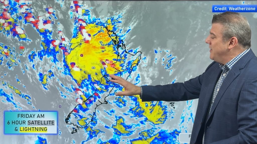
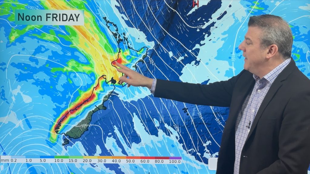
Further ahead and Friday looks more unsettled along the West Coast of the South Island with some showers and west to southwest winds and again some may move into parts of Otago and Southland.
Again for most other areas on Friday, it should be mostly dry with temperatures well into the 20s and possibly touching the 30s in areas sheltered from the wind.
Across the Tasman, South Australia and Victoria have been baking in the last day or two and it’s very likely again today. Adelaide is looking at a high of 41 and Melbourne is expecting a sizzling 43 degrees!
The heat looks as if it will make a move across the Tasman over the next few days but usually the water cools the hot air as it crosses the big ditch.Let’s hope that is going to be the case.
Weather Analyst – Richard Green
Latest Video

Colder airflow, showers, fog, frost & large dry areas
A windier and cooler start to the week will be replaced by lighter winds, frosts and fog patches as we…
Related Articles
Colder airflow, showers, fog, frost & large dry areas
A windier and cooler start to the week will be replaced by lighter winds, frosts and fog patches as we…
Thunderstorms & downpours as cold front moves through
More heavy downpours and thunderstorms are expected across Friday and into Saturday as a cold front moves through and clears…
Cold front incoming, rain, showers and thunderstorms in the mix
Low pressure in the Tasman Sea is moving into the South Island and will bring more heavy West Coast rain…

