> From the WeatherWatch archives
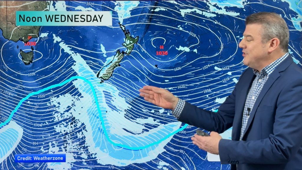
We often get large lows that cover the entire Tasman Sea – but not too often do those lows bring heavy rain to both Australia and New Zealand at the same time.
Yesterday Australia’s Bureau of Meteorology (BoM) warned residents along the South Coast of heavy, prolonged rain starting Wednesday.
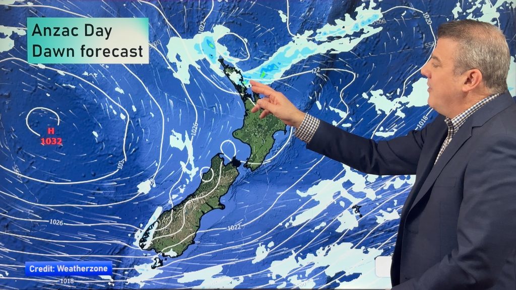
By Thursday morning south eastern Australia will have a very wet south easterly from this low parked in the central Tasman Sea. At the same time, heavy rain will be moving into New Zealand’s northern coastline, with heavy rain around Northland drifting towards Auckland and Coromandel Peninsula during the day.
The massive cyclonic flow with this low is also clearly noticeable on Thursday with wet sub-tropical northerlies for New Zealand and wet, colder, south easterlies for Australia.
Govt owned forecaster MetService has “moderate confidence” of heavy rain for northern New Zealand later this week.
Meanwhile, this large low may mostly miss the South Island – but a wetter easterly may brush Canterbury and Marlborough on Friday for a time. A large, dry high-pressure system is heading towards the South Island after this.

Image / Thursday’s rain map shows heavy rain affecting both Australia and New Zealand at the same time / Weathermap
– WeatherWatch.co.nz
Comments
Before you add a new comment, take note this story was published on 4 Jul 2016.


Add new comment