> From the WeatherWatch archives
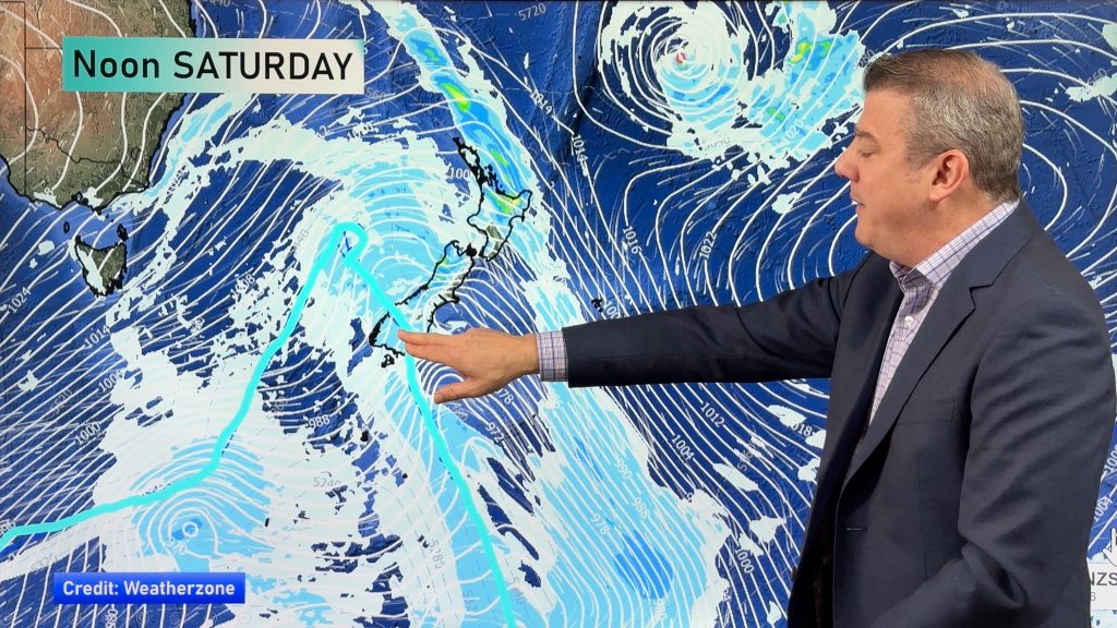
One last cold front is today zipping up the country before a large high moves in for the weekend – and well into next week for some.
The cold front is expected to move in to Wellington this morning then Auckland around lunchtime or early afternoon bringing cloudier skies and showers. The front is weakening as it heads north.
 Behind the front more cool south to south west winds will continue, becoming fairly strong in exposed regions, but they will start to ease everywhere tomorrow.
WeatherWatch.co.nz expects today to be fairly windy across most regions.
By tonight just a few coastal showers will remain, mainly around the North Island.
Weather conditions for travellers this long weekend remains near perfect for both leaving on Friday and returning home on Monday.
The only downside for travel this long weekend is expected to be tomorrow with light to moderate air turbulence on flights around central New Zealand and eastern parts of the North Island and large swells in Cook Strait on Friday may affect some ferry passengers. Major delays are not expected at this stage.
Image / Recent showers at sunset makes everything pink in this photo by Jeanie Griffin
WeatherWatch.co.nz will have a travel forecast tonight for driving, flying or going by ferry.
Comments
Before you add a new comment, take note this story was published on 20 Oct 2010.


Add new comment
Rachel jennings on 20/10/2010 11:47pm
Hailing here at present, sounds like someone walking on the roof in work boots! Thunder rumbled before with a flash of lightening for good measure. Pressure is 1002 and seems steady. Wind is SW 7knts.
Reply
sw on 20/10/2010 7:05pm
This is the most brutal front as far as wind goes in Auckland as its southerly air rather than westerly air in the SWer.
Reply