> From the WeatherWatch archives
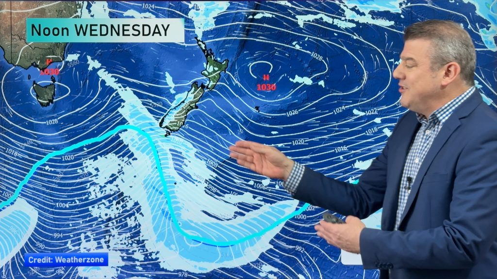
A rather wet pattern is setting up for Monday. Rain is likely for much of the western South Island and a large part of the North Island.
Expect widespread rain along the western sections of the South Island tomorrow morning. Some precipitation is also possible about coastal Southland. Canterbury and Otago will probably stay dry until the late afternoon or evening hours.
On the North Island, showers will have spread across much of the island by sunrise. Wairarapa, Hawkes Bay and Gisborne will likely have to wait until mid-morning to see any rain.
Heavy rain is a threat tomorrow, but the best chance for it would be during thunderstorms. Right now, the best chance for thunderstorms will be about West Coast, Nelson and the Kapiti Coast during the afternoon and evening. Government forecaster MetService has identified these areas as having a “high risk” for thunderstorms.
Thunderstorms area also possible for eastern Otago and Canterbury, including Christchurch. These areas are running a moderate risk. Also running a moderate risk are Taranaki and Waitomo. All of these regions would most likely see thunderstorms during the afternoon and evening.
Homepage image/ Jude Wightman
By WeatherWatch.co.nz Analyst Howard Joseph
Comments
Before you add a new comment, take note this story was published on 30 Sep 2012.


Add new comment