> From the WeatherWatch archives
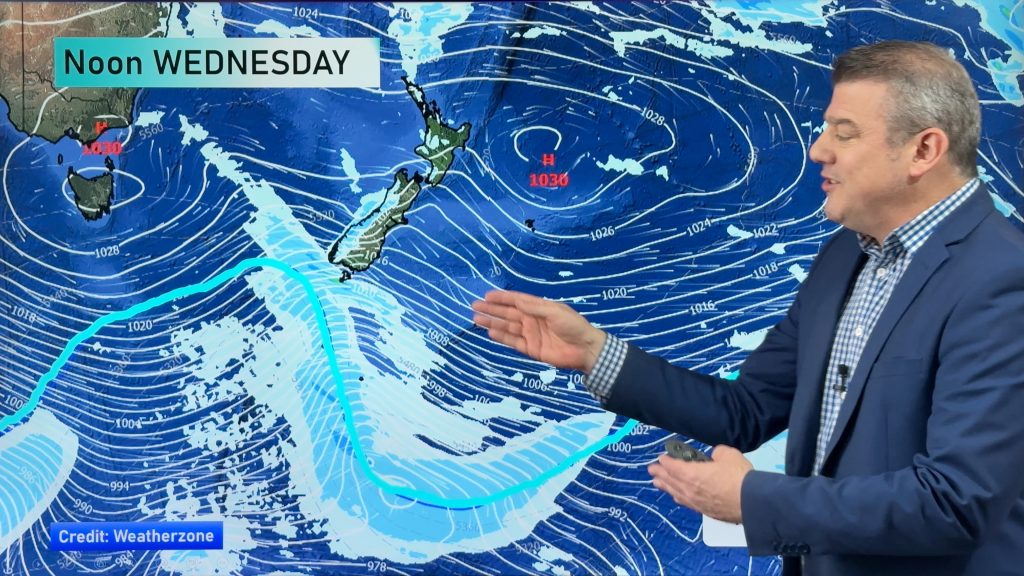
We’re entering a new phase of weather, one that will bring rain to the western side of NZ, heavy snow on the Southern Alps and windy, warm and dry weather for many other parts of the country.
There will be several fronts crossing the nation in the new westerly belt of weather which is about to dominate NZ for the next couple of weeks. These fronts will bring frequent rain events to the West Coast with above normal rainfall expected. Rain warnings and thunderstorms are also possible.
WeatherWatch.co.nz says while temperatures are now creeping up above average – and will continue to do so in the days ahead – we are expecting that West Coast rain to fall as heavy snow across the Southern Alps. But generally this snow will be higher up in the ranges and mountain tops, but early next week a southerly change may see snow to lower levels in the lower South Island (400m maybe) for a time (not included in the map below, which goes out to this Sunday).
The North Island will get more rain in the west too, as far north as Northland. However eastern areas of both islands are much drier. The general rule is, the closer you are to the eastern coastline the lower the rainfall amounts will be.


– WeatherWatch.co.nz
Comments
Before you add a new comment, take note this story was published on 9 Jul 2019.


Add new comment