> From the WeatherWatch archives
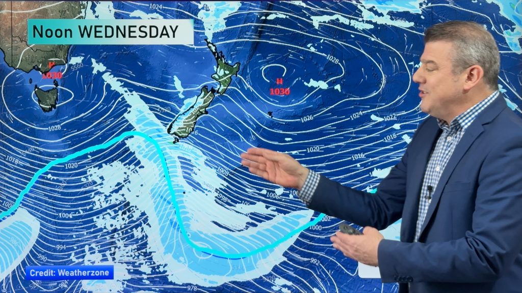
High pressure centred west of central New Zealand promises to bring a dry and settled day to most of the country.
However, that same ridge of high pressure will set up an onshore flow for the western Mainland. That means showers are possible as far north as Westland during the morning, although the best chance for precipitation will stay about Fiordland. By afternoon, shower chances will get a bit better for Westland, but chances will still be pretty small. The best chance for precipitation will still be about Fiordland.
Shower chances will also show up about Southland during the afternoon hours as a weak front comes ashore. That chance for showers will head north into Otago and South Canterbury and could affect Dunedin and Timaru during the late afternoon and evening.
Otherwise, it looks like a typical summer day for the rest of the country.
Homepage image/ Monday afternoon weather map from Weathermap.co.nz
-WeatherWatch.co.nz
Comments
Before you add a new comment, take note this story was published on 9 Dec 2012.


Add new comment