
> From the WeatherWatch archives
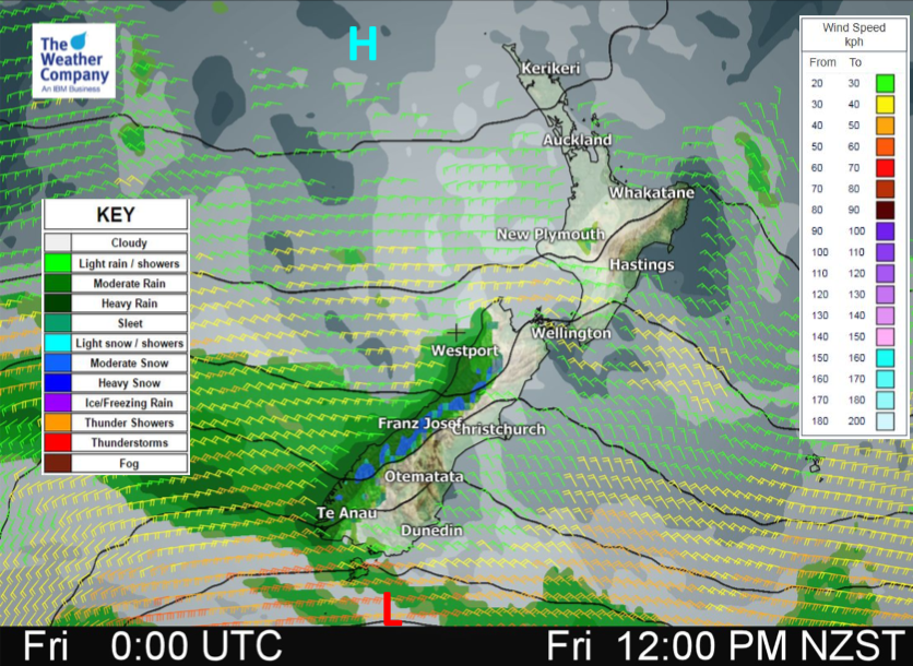
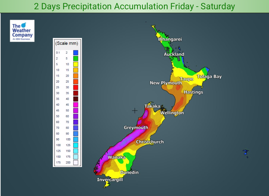
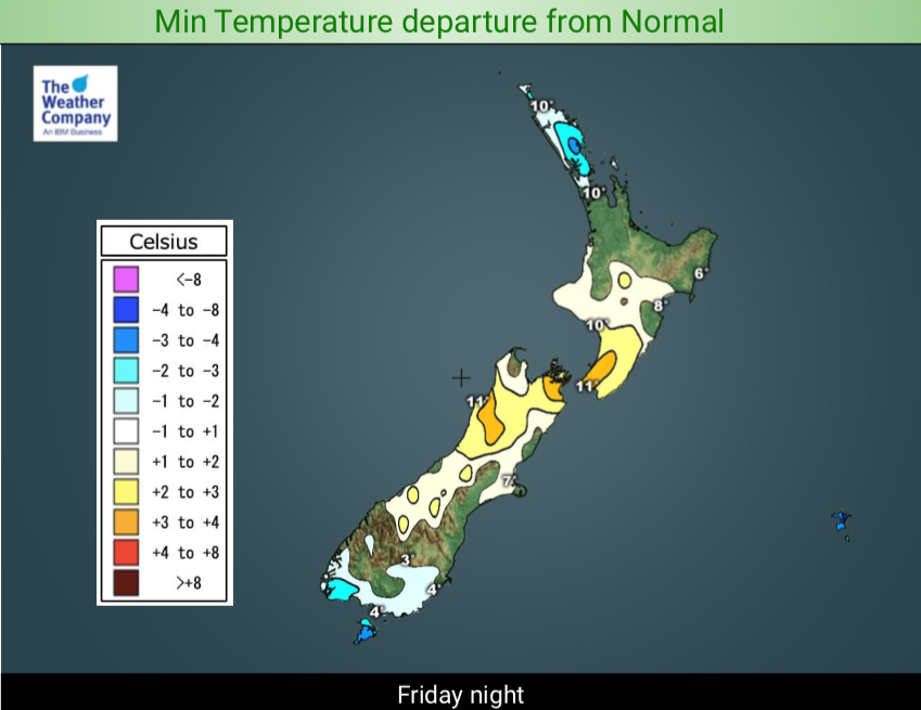
Another cold front is coming with rain and snow. While fairly dry conditions remain over the North Island today the next area of rain starts to affect the western South Island. The westerly flow brings moderate to heavy rain/mountain snow and helps lift temperatures in the east for a time. Only a few showers affect the western North Island, mostly coastal, light and isolated today.
On Saturday, the rain and cold moves northward and a local low will be formed over North Island while high pressure will move back from the west and cover the South Island.
Rain/mountain snow in the South Island will gradually abate, but widespread rain and some mountain snow will cover the North Island. A Southerly flow then dominates over the South Island and drags temperatures lower.
Between the northern low and the southern high a steep pressure gradient will be formed resulting in gusty winds late Saturday to Sunday. On Sunday, the local low over the upper North Island will gradually pull away northwards and high pressure will cover the country. Just the very northern tip of the North island will remain affected by the low and scattered rain will linger.
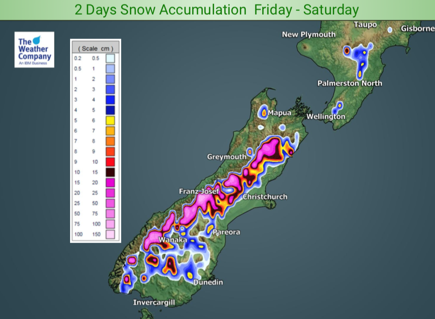
The heaviest snowfall Friday to Saturday will be over higher reaches in Fiordland and Westland. Total accumulation of 20 cm is common, 100 cm possible locally.


– WeatherWatch.co.nz
Comments
Before you add a new comment, take note this story was published on 15 Aug 2019.
Latest Video

NZ VIDEO: Westerlies, lows, showers & large dry areas
Messy westerly driven weather will affect NZ this week, bringing more wet weather to western and northern parts of the…
Related Articles
NZ VIDEO: Westerlies, lows, showers & large dry areas
Messy westerly driven weather will affect NZ this week, bringing more wet weather to western and northern parts of the…

NZ VIDEO: Westerlies continue
Heavy rain and northerly gales are moving across NZ going into the weekend as a large low from the Tasman…

VIDEO: Low pressure, cold fronts, main feature next two weeks
There are several low pressure zones and cold fronts coming into NZ, with westerly driven weather dominating our weather pattern…


Add new comment