Your web browser (Internet Explorer) is out of date. Some things will not look right and things might not work properly. Please download an up-to-date and free browser from here.
4:44am, 3rd May
Home > News > Next 10 days: More low pressure, more ra...
Next 10 days: More low pressure, more rain & showers
2/07/2017 10:45pm

> From the WeatherWatch archives
If you’re sick of the rain this forecast may not cheer you up – more rain and showers are coming along with plenty more low pressure.
The incoming lows are large and ‘lazy’ – not overly aggressive, but they do have the ability to produce more heavy downpours especially in northern and western facing regions of both islands.
A brief southerly may also bring in some snow showers to the ranges of Southland and Otago tonight or on Tuesday down to 300 or 400m generally, but this is not a major event.
Most of New Zealand is pretty wet right now. A recent poll in June at WeatherWatch.co.nz showed 40% of those who responded wanted July to be “drier than average” but so far that doesn’t look too likely, although some eastern areas may have a drier pattern if our weather continues to mainly come in from the Tasman Sea area and we get more westerly quarter winds.
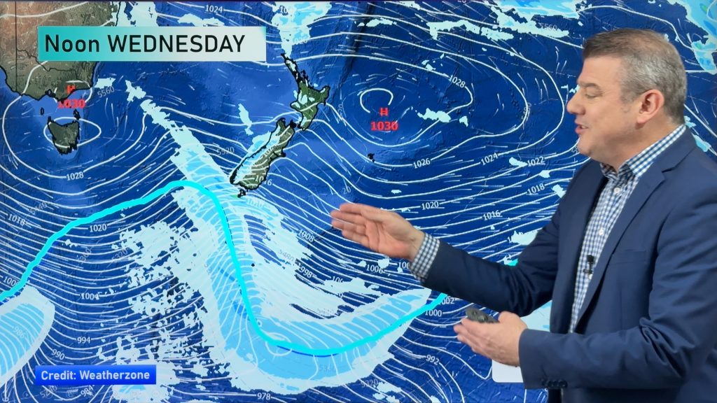
A brief area of high pressure will cover New Zealand on Wednesday but later this week and into the weekend low pressure and rain looks again to be the main feature.
WeatherWatch.co.nz says next week looks similar with possibly colder southerlies in the mix too with the lows and wetter weather.
– Image / Forecast rain radar for noon Thursday shows a lot of low pressure and showers in the Tasman Sea moving into the country / Weathermap.co.nz
– WeatherWatch.co.nz
Comments
Before you add a new comment, take note this story was published on 2 Jul 2017.
Latest Video
High pressure for much of the country: 10 day outlook
Powerful high pressure is moving over New Zealand not only for this weekend but possibly for the next couple of…
Related Articles
Foggy weather off & on next couple of weeks
High pressure in Autumn usually leads to fog and our unique fog forecaster can better help you plan ahead, especially…
High pressure for much of the country: 10 day outlook
Powerful high pressure is moving over New Zealand not only for this weekend but possibly for the next couple of…
A cold front to brush the south, but high pressure dominates
Today’s video is short and sharp because there isn’t a lot of weather on the way! A cold front will…
Navigation
Follow us on
© 2026 WeatherWatch Services Ltd


Add new comment