More mud for the North Island despite some warmth this week (+3 Maps)
6/07/2023 8:58pm

> From the WeatherWatch archives
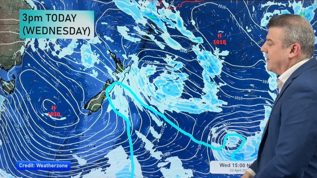
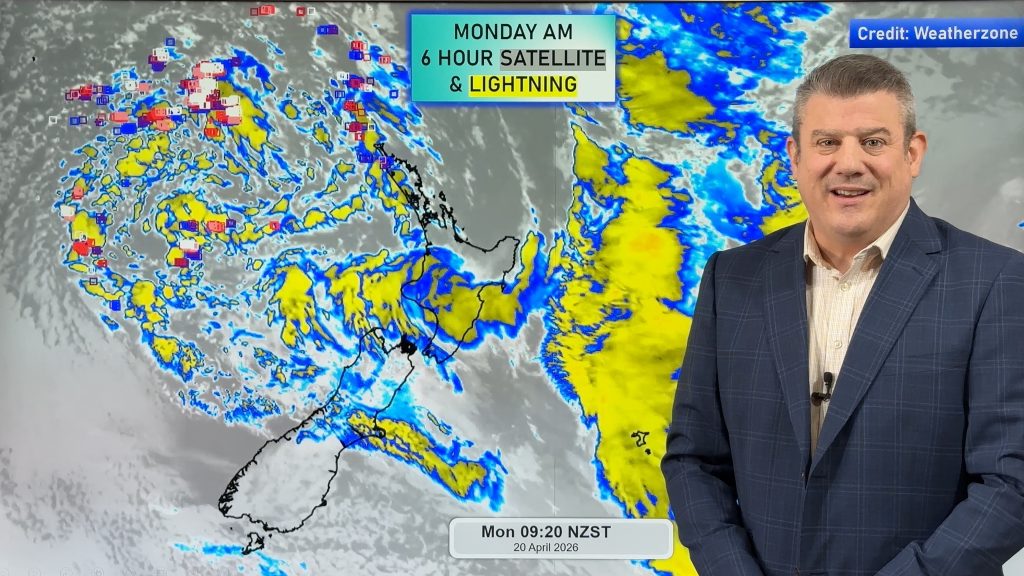
Milder than usual airflows off and on this week aren’t enough to reverse the muddy conditions underway across a large portion of the North Island. With high pressure today shifting east off the North Island it allows another rain band to move in – and next week low pressure dominates the country.
New Zealand remains in a neutral and therefore chaotic weather pattern. El Niño has not yet formed and may still be a month or two away. El Niño encourages drier conditions across much of NZ due to more high pressure in the very north and windier westerlies elsewhere. Western NZ is often cloudier while eastern areas are often clear skied.
Until El Niño forms we can expect plenty of variety with winds from the north, east, south and west – but likely more dominant from the westerly side.
Hawke’s Bay looks to get the bulk of the rain over the next three days – but the North Island is generally exposed to more rain thanks to low pressure moving through.
The driest parts of NZ will be Southland and Central Otago.
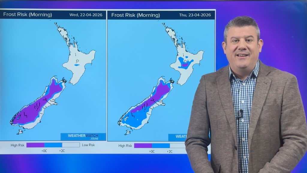
The northerly flow on the back end of the high pressure zone means Friday is average to warmer than average in most regions, although light winds tonight means some in the south will go the other way.
For more more detailed information for July, August and September and on El Niño, please see our July ClimateWatch monthly update here.
- By head forecaster Philip Duncan


Maps via WeatherWatch.co.nz / IBM.
- WeatherWatch.co.nz
Comments
Before you add a new comment, take note this story was published on 6 Jul 2023.


Add new comment