> From the WeatherWatch archives
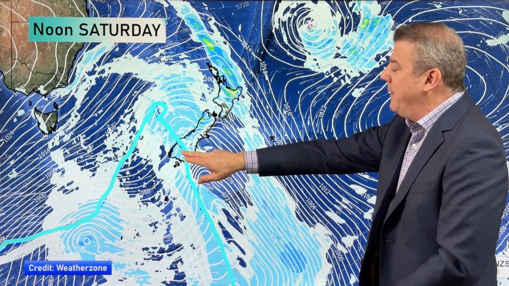
A series of fronts move over New Zealand on Monday bringing mainly wet weather in the west and dry weather out east. A fairly cold southwest change moves into Southland during the afternoon bringing rain reaching Canterbury in the evening however by then it will only bring a few showers.
Expect the odd shower and northwesterly winds for the upper North Island, some rain moves in during the evening with a southwest change. Occasional showers in the southwest (Taranaki to Wellington) with northwesterlies, a strong southerly change moves into Wellington around midnight. Sunny areas and some high cloud in the east with northwesterly winds.
The odd shower for the West Coast of the South Island, rain for Fiordland spreads into North Westland in the evening with a gusty southwest change then clearing up overnight. A mix of sun and cloud for Nelson / Marlborough with west to northwest winds then changing southwest overnight. Sunny areas and some high cloud for Canterbury, a strong southwest change with gales about the coast pushes through late afternoon / evening brining a few showers. Dry at first about Southland / Otago then during the afternoon a strong southwest change pushes through bringing rain then easing to showers in the evening. Some snow may lower to 300m in the evening.
Highs in the low to mid twenties for most of the North Island, perhaps not getting out of the high teens for the Central North Island and in the southwest (Taranaki through to Wellington). Temperatures in the high teens or early twenties for Otago up through to Nelson in the east, mid to late teen degree highs elsewhere.

By Weather Analyst Aaron Wilkinson – WeatherWatch.co.nz
Comments
Before you add a new comment, take note this story was published on 22 Mar 2020.


Add new comment