
> From the WeatherWatch archives
A northwesterly airflow lies over both the North and South Islands on Monday, a cold front pushes onto the lower South Island in the morning then gradually moves northwards to reach central New Zealand overnight.
Mostly cloudy for the western North Island, risk of a shower or two especially from evening. Overnight rain moves into Taranaki and Kapiti. A mix of sun and cloud for the Bay Of Plenty, mostly sunny along the east coast with some high cloud. Winds from the west then tending northwest during the day. Strong to gale northwest winds through Cook Strait.
Showers for the West Coast of the South Island, heavy rain about South Westland spreads into North Westland in the afternoon then easing by evening. Scattered rain spreads into Nelson from afternoon then clearing at night. High cloud for Marlborough with breezy northwest winds, Canterbury is similar with lighter winds. A few morning spits or showers about Southland and Otago then sunny areas develop in the afternoon, winds from the west.
Temperatures range from the mid teens to the early twenties for the North Island, the warmest temperatures will likely be about Hawkes Bay and Gisborne. High’s in the low teens to the high teens for the South Island, the warmest highs will likely be about Canterbury / Marlborough, the coolest temperatures will be about Fiordland / West Coast.

Image: Monday 23rd September 2019 midday MSLP / rain map – weathermap.co.nz
WeatherWatch.co.nz
Latest Video
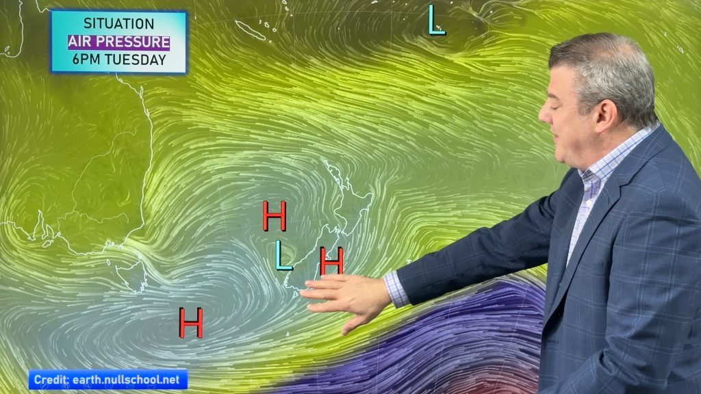
Subtropical northerlies and some wet weather chances going into the long weekend
More high pressure is moving over NZ this week but this week it slides east of us, creating subtropical northerlies…
Related Articles
Subtropical northerlies and some wet weather chances going into the long weekend
More high pressure is moving over NZ this week but this week it slides east of us, creating subtropical northerlies…
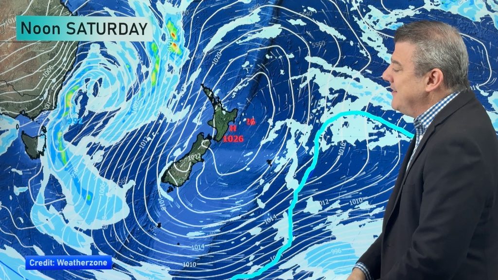
Your NZ forecast through to King’s Birthday Monday
High pressure continues to control NZ’s weather but a change to wet weather and low pressure is expected during the…
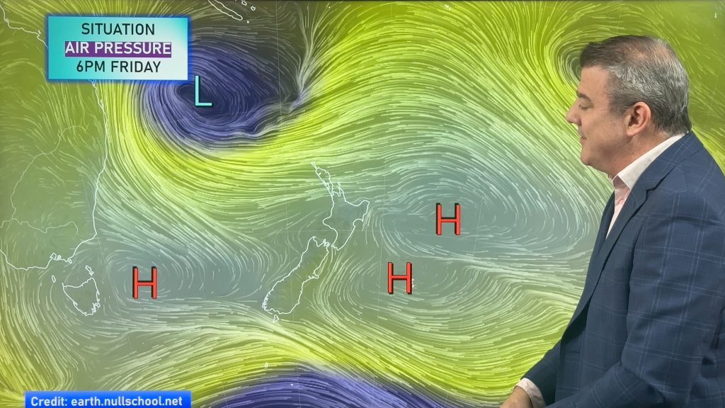
A few showers, but still a lot of high pressure
Showers continue in parts of NZ going into the weekend and through next week, we track them for you –…

