> From the WeatherWatch archives
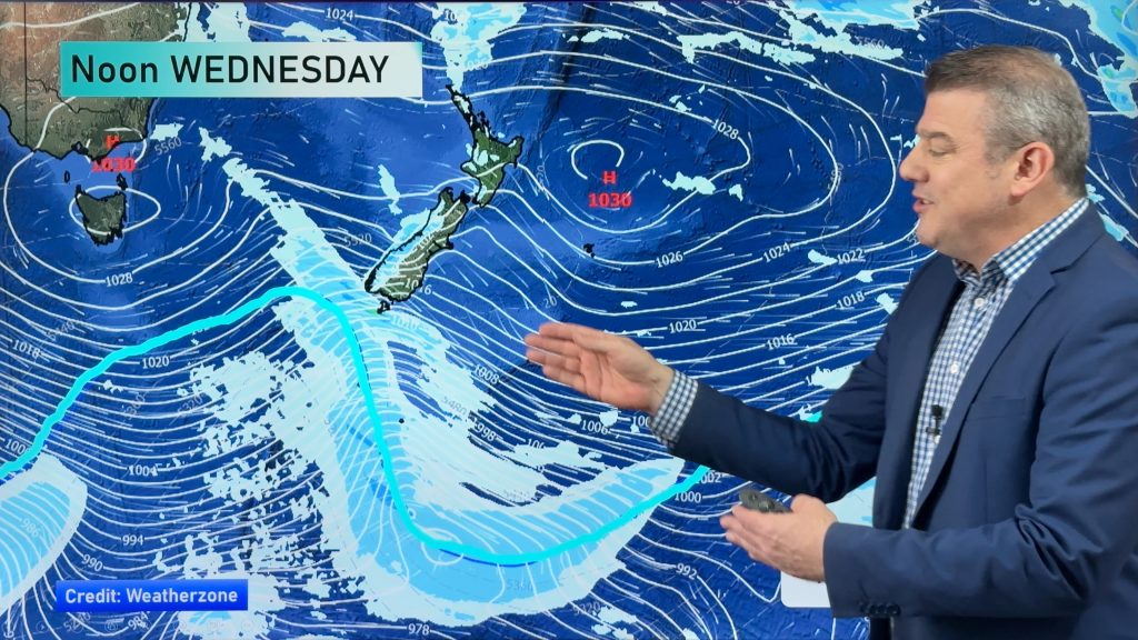
A large high to the southwest of New Zealand and a low to the east direct a cold south to southeasterly airflow into the South Island on Monday, meanwhile the North Island has a mix of weather due to lighter shiftier winds.
For the upper North Island a period of cloud in the morning brings a few showers then again in the afternoon, winds from the southwest. High’s in the mid to late teens. Morning showers for the lower western North Island then afternoon sun breaks through, a few showers may hang about inland areas till evening. Showers about Wellington and Wairarapa spread northwards into Hakwes Bay and Gisborne in the afternoon. High’s in the low double figure arena for Wellington, mid to high teen’s along the east coast. Gisborne may crack the early twenties before afternoon showers move in.
North of Banks Peninsula for the South Island, early showers clear then some sun breaks though. During the afternoon showers ramp up, heavy with thunderstorms and hail especially about inland areas then easing later in the evening. South of Banks Peninsula in the east including the main divide conditions are fairly miserable, expect rain for much of the day. Heavy falls at times with hail and some thunderstorms, the thunderstorm component will gradually start to ease from the south afternoon onwards but heavy areas of rain / showers will likely still move through at times. Heavy snow is possible above 500m for the east of the South Island, falls may reach 400m at times Banks Peninsula southwards.
High’s in the low double figure arena for the eastern South Island on Monday, perhaps only reaching into the 5 to 7 degree range for some inland areas.
For the West Coast, mainly about the coastal fringe, mainly sunny conditions are likely all day. Winds a bit cool from the south or southwest with high’s just reaching into the mid teens.
Certainly a period of cold weather coming up for the South Island tomorrow about and east of the main divide, keep up to date with the latest weather watches and warnings at Metservice if working outdoors or planning any outdoor activities.

Image: Monday 19th November 2018 1:00pm MSLP / Rain map – weathermap.co.nz
By Weather Analyst Aaron Wilkinson – WeatherWatch.co.nz
Comments
Before you add a new comment, take note this story was published on 18 Nov 2018.


Add new comment