Monday’s national forecast – Unsettled in the north (+8 maps)
16/05/2021 4:00pm
> From the WeatherWatch archives
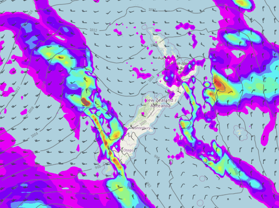
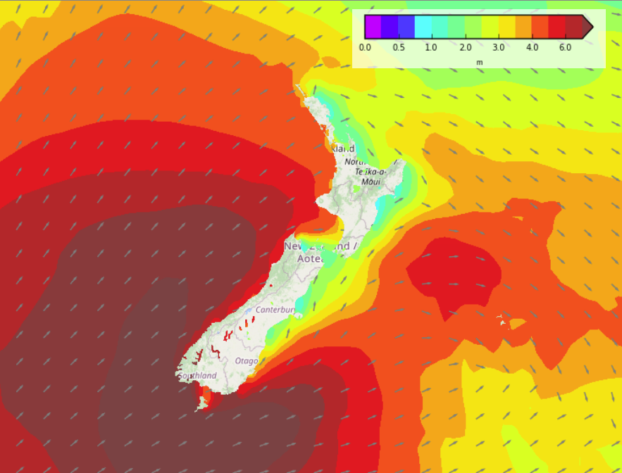
Unsettled for the North Island today especially in the west meanwhile it’s a bit calmer further south however a cold front moves into the lower South Island from afternoon.
Please refer to your local, hourly, 10 day forecast for more details.
North Island
Rain or showers moves into most western regions this morning with westerly quarter winds, rain more likely south of Auckland. Heavy falls possible about Taranaki through to Wellington then easing from mid or late afternoon. Mainly dry in the east but a few spots could spread from the west for a time this afternoon, Wairarapa especially in the south sees some rain, clearing up overnight.
South Island
Rain about Nelson / Marlborough clears mid to late afternoon then expect some sun before dusk. Dry in the east but there may be some high cloud. A few showers for Buller clear this afternoon. Rain builds about Fiordland this morning then spreads northwards along the West Coast this evening.
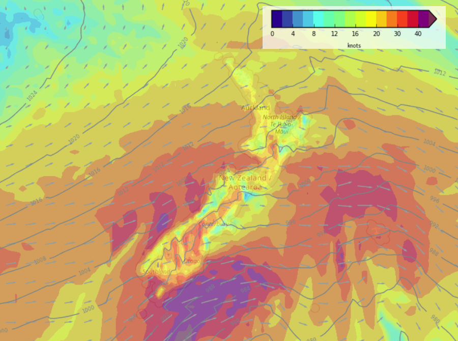
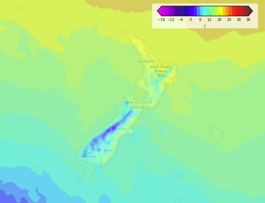
Rain moves into Southland (showers for southern parts of Otago) mid to late afternoon with a westerly change, rain becomes more widespread about the lower South Island overnight as winds tend colder and stronger southwest. Snow lowers overnight to 400m, possibly 300m by dawn on Tuesday.


Latest Video

More eastern rain, but a drier long weekend coming
Rain continues today along the eastern South Island and lower North Island, coming in from the east with heavy falls….
Related Articles
More eastern rain, but a drier long weekend coming
Rain continues today along the eastern South Island and lower North Island, coming in from the east with heavy falls….

More heavy rain, snow – but large dry areas, especially as we go into the long weekend
Heavy rain will continue for parts of Canterbury and Marlborough over the next day or two and it will gradually…

Large low brings rain, downpours & some snow – gets colder as the week progresses
Low pressure will cross the upper North Island in the days ahead and that set-up actually pushes more heavy rain…

