Your web browser (Internet Explorer) is out of date. Some things will not look right and things might not work properly. Please download an up-to-date and free browser from here.
11:42am, 19th July
Home > News > Monday’s national forecast –...
Monday’s national forecast – Southwesterlies dying away
31/07/2022 12:00pm

> From the WeatherWatch archives
A southwesterly airflow tends northwest for the South Island today.
North Island
A mix of sun and cloud in the west with a few showers, drying out this afternoon. Southwesterly winds. Bay Of Plenty and the east coast has a sunny day although a few showers for Wellington and Wairarapa clear this morning. A frosty start for inland areas
South Island
Cloud thickens for the West Coast, the odd shower turning to rain about South Westland this afternoon then becoming heavy. In the east expect dry weather today with sun and increasing high cloud. Very frosty to start this morning about and east of the Main Divide.
Comments
Before you add a new comment, take note this story was published on 31 Jul 2022.
Latest Video
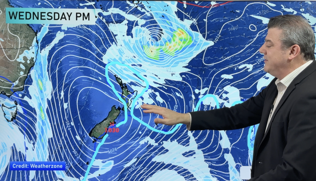
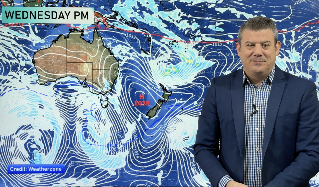
NZ VIDEO (7 Day): High pressure, frosts, expand as big lows surround us
Most of you will be pleased to know drier weather is coming for most parts of New Zealand. High pressure…
Related Articles
NZ VIDEO (7 Day): High pressure, frosts, expand as big lows surround us
Most of you will be pleased to know drier weather is coming for most parts of New Zealand. High pressure…
NZ: Frosts, high pressure, dry skies increasing – but what about next week?
Frosty weather is expanding this weekend with perhaps some of the coldest overnight weather the North Island has had so…
NZ VIDEO: Big frosts as high pressure flirts with NZ
A low will cross the North Island on Thursday while heavy frosts (-5C and below!) will affect inland parts of…
Navigation
© 2025 WeatherWatch Services Ltd


Add new comment