Monday’s national forecast – Some heavy rain in the north (+8 maps)
13/06/2021 4:00pm
> From the WeatherWatch archives
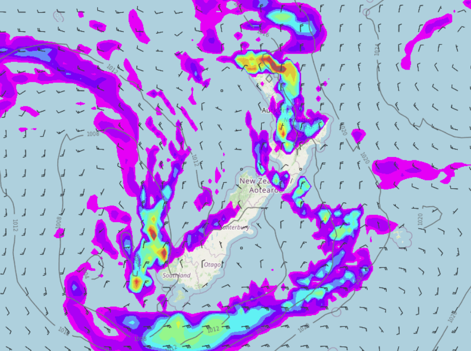
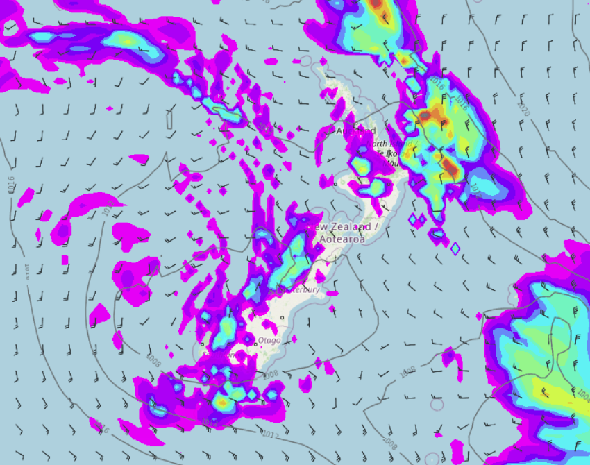
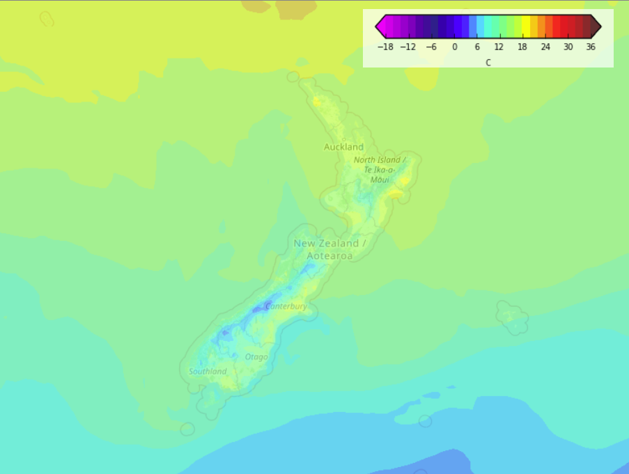
A broad area of low pressure lies in the Tasman Sea, extending out from this low is a few fronts / troughs bringing areas of rain or showers to New Zealand today.
Please refer to your local, hourly, 10 day forecast for more details.
North Island
Rain about Wellington through to Taranaki this morning (heavy at times about Taranaki), rain also about Northland then showers down through to Bay Of Plenty in the east. Rain becoming more widespread about the upper North Island this afternoon with heavy falls possible, rain also starts to ease about Northland later. Dry in the east but this evening rain spreads from the west into Hawkes Bay and Gisborne.
South Island
Showers for the West Coast, rain about Nelson and Marlborough clearing away this afternoon although showers linger about the Marlborough Sounds through till evening. Showers about Southland and coastal Otago clear away this morning then dry. Elsewhere for the eastern South Island sees high cloud and some sun.
Latest Video

More eastern rain, but a drier long weekend coming
Rain continues today along the eastern South Island and lower North Island, coming in from the east with heavy falls….
Related Articles
More eastern rain, but a drier long weekend coming
Rain continues today along the eastern South Island and lower North Island, coming in from the east with heavy falls….

More heavy rain, snow – but large dry areas, especially as we go into the long weekend
Heavy rain will continue for parts of Canterbury and Marlborough over the next day or two and it will gradually…

Large low brings rain, downpours & some snow – gets colder as the week progresses
Low pressure will cross the upper North Island in the days ahead and that set-up actually pushes more heavy rain…

