Monday’s national forecast – Settled and warm (+10 maps)
21/02/2021 3:00pm
> From the WeatherWatch archives
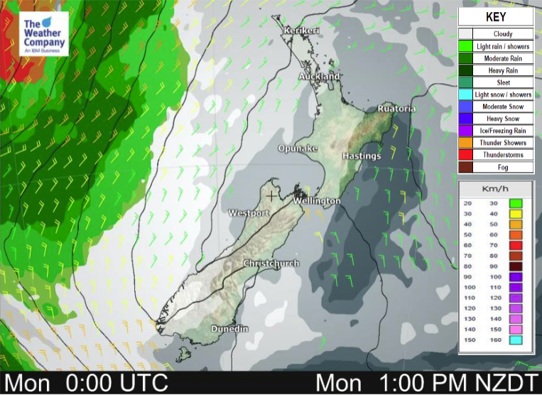
A ridge of high pressure lies over New Zealand today in a north to northeasterly airflow bringing mainly settled weather.
North Island
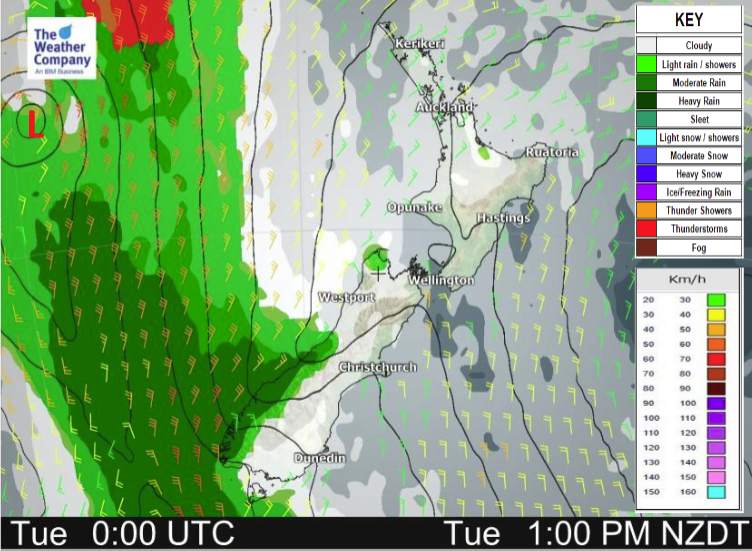
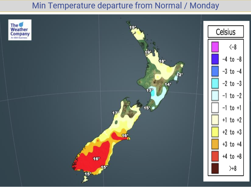
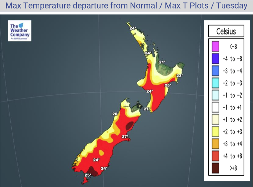
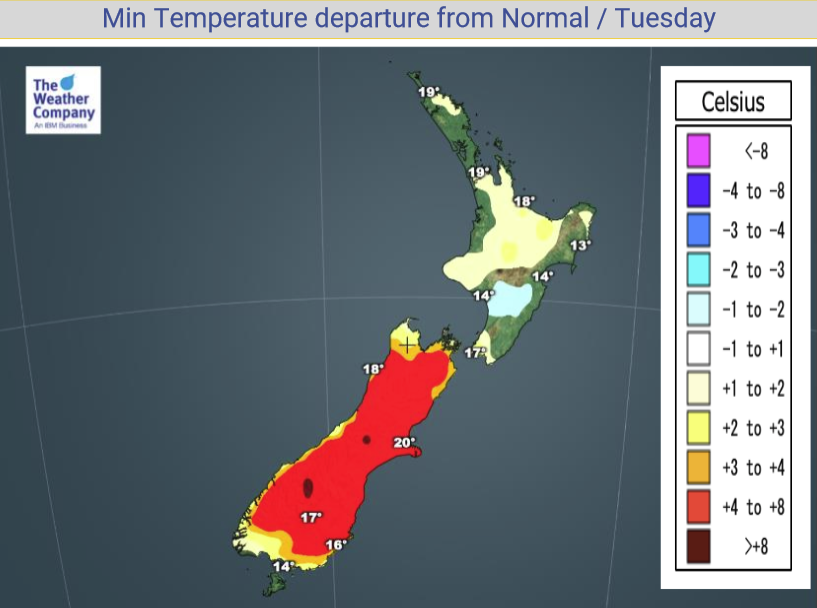
Sunny areas and some high cloud, there may be some mid level cloud about Bay Of Plenty through to Northland, more so in the morning then breaking away by midday. Overnight cloud moves back into northeastern parts of the North Island bringing a few showers. Northeasterly winds. Temperatures are warm getting into the mid to late twenties for most, possibly early thirties for some in the east.
South Island
Sunny areas and some high cloud, north to northeasterly winds. Any morning cloud in the east breaks away. Cloud thickens about South Westland overnight bringing showers. North to northeasterly winds. Hot temperatures in the east getting into the late twenties, possibly early thirties. The West Coast stays in the high teens or early twenties apart from Buller which lifts into the mid to late twenties especially inland.
Please refer to your local, hourly, 10 day forecast for more details.


Latest Video

More eastern rain, but a drier long weekend coming
Rain continues today along the eastern South Island and lower North Island, coming in from the east with heavy falls….
Related Articles
More eastern rain, but a drier long weekend coming
Rain continues today along the eastern South Island and lower North Island, coming in from the east with heavy falls….

More heavy rain, snow – but large dry areas, especially as we go into the long weekend
Heavy rain will continue for parts of Canterbury and Marlborough over the next day or two and it will gradually…

Large low brings rain, downpours & some snow – gets colder as the week progresses
Low pressure will cross the upper North Island in the days ahead and that set-up actually pushes more heavy rain…

