Monday’s national forecast – Humidity increasing in the north
23/01/2022 3:00pm

> From the WeatherWatch archives
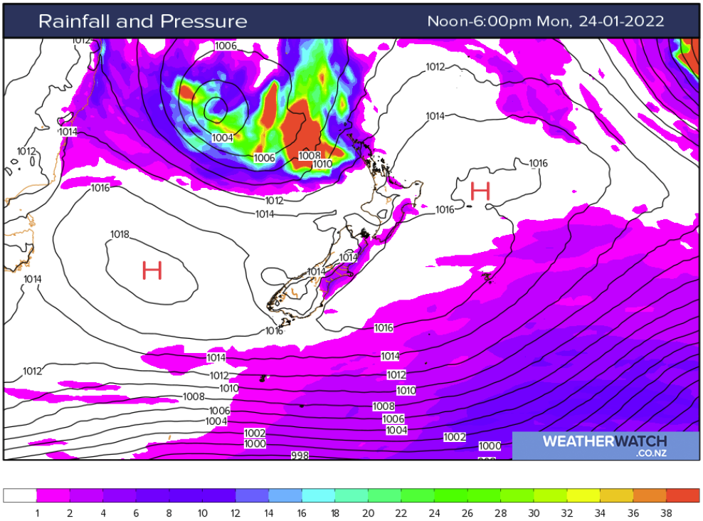
High pressure brings mainly settled weather to New Zealand today however it is cloudy in the north and east thanks to a northeasterly airflow making it’s way down from the subtropics, this being helped along by a low dropping into the Tasman Sea. Conditions about the upper North Island will feel increasingly humid today.
North Island
Mostly cloudy in the north and east with the odd shower or drizzle patch, there may be some rain overnight for places north of the Waikato. Drier and warmer in the southwest although expect some high cloud. Winds from the northeast.
South Island
Mostly cloudy in the east with the odd drizzle patch from Otago Peninsula up through to southern Marlborough, inland areas may break to sun this afternoon. The West Coast is mostly sunny but expect some high cloud especially the further north you go. Winds are mostly light tending onshore this afternoon, east to northeasterly winds down the east coast become a little breezy though after midday.
Latest Video

Rain & showers this weekend, colder change next week
Some places will warm up over the next day or so as a nor’wester out of Australia moves across NZ,…
Related Articles
Rain & showers this weekend, colder change next week
Some places will warm up over the next day or so as a nor’wester out of Australia moves across NZ,…

Temperature changes for some regions ahead of heavy West Coast rain
A nor-wester is about to kick in and it’s coming from out of Australia, boosting temperatures in some regions going…

NZ 7 day forecast: Showers, temp changes and heavy West Coast rain
NZ has a fairly messy forecast over the next 7 days, but the main feature will be heavy rain on…

